Ketzin geodata
Ketzin (Brandenburg) is a populated place; located in Germany in Europe/Berlin (GMT+1) time zone. With population of 6,500 people, there are 2307 cities with bigger population in this country. Compared to other cities in Germany, 77.2% of cities are located further ↓South; 91.1% of cities are located further ←West and 85.8% of cities have higher elevation than Ketzin. Note1


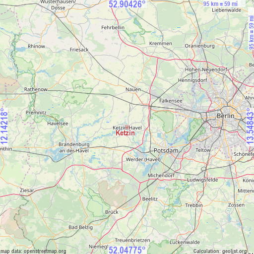
Ketzin GPS coordinates[2]
52° 28' 41.124" North, 12° 50' 43.08" East
| Map corner | latitude | longitude |
|---|---|---|
| Upper-left | 52.90426°, | 12.14218° |
| Center: | 52.47809°, | 12.8453° |
| Lower-right: | 52.04775°, | 13.54843° |
| Map W x H: | 95.2×95.2 km | = 59.2×59.2mi |
| max Lat: | 55.01917° ⇑22.8% North |
| Ketzin: | 52.47809° |
| min Lat: | ⇓77.2% South 47.40724° |
| min Long | Ketzin | max Long |
| 5.92978° | 12.8453° | 14.98853° |
| W 91.1%⇐ | ⇒8.9% E |
Elevation
Elevation of Ketzin is 33 m = 108 ft, and this is 216.1 m = 709 ft below average elevation for this country.
| Max E: |
1256 m = 4121 ft | 85.8% |
| Avg. | 249.1 m = 817 ft | |
| Ketzin | 33 m = 108 ft | |
Min E: |
-5 m = -16 ft | 14.2% |
See also: Germany elevation on elevation.city.
Geographical zone
Ketzin is located in North temperate zone (between Tropic of Cancer and the Arctic Circle). Distance of this North polar circle is 1566.2 km =973.2 mi to North.| Distance of | km | miles | from Ketzin |
|---|---|---|---|
| North Pole | 4172 | 2592.4 | to North |
| Arctic Circle | 1566.2 | 973.2 | to North |
| Tropic Cancer | 3229.1 | 2006.5 | to South |
| Equator | 5835 | 3625.7 | to South |


Nearby cities:
15 places around Ketzin: (largest is in red/bold)
• Brandenburg an der Havel
21.1 km =13.1 mi,  251°
251°
• Brieselang
15.7 km =9.8 mi,  41°
41°
• Dallgow-Döberitz
16.1 km =10 mi,  63°
63°
• Falkensee
19.1 km =11.9 mi, 61°
• Groß Kreutz
9.5 km =5.9 mi,  208°
208°
• Kladow
20.4 km =12.7 mi,  97°
97°
• Kloster Lehnin
18.9 km =11.7 mi,  201°
201°
• Nauen
14.5 km =9 mi,  7°
7°
• Potsdam
17.3 km =10.7 mi,  120°
120°
• Päwesin
9.7 km =6 mi,  296°
296°
• Retzow
19.6 km =12.2 mi,  326°
326°
• Roskow
8.6 km =5.3 mi,  265°
265°
• Staaken
21.7 km =13.5 mi,  72°
72°
• Werder
12.6 km =7.8 mi,  151°
151°
• Wustermark
10.7 km =6.6 mi, 41°
In other languages:
- In France: Ketzin/Havel
- In German: Ketzin/Havel
- In Italian: Ketzin/Havel
- In Russian: Кецин
Sources, notices
• [Note1] Compared only with cities in Germany existing in our database
• [Src1] Map data: © OpenStreetMap contributors (CC-BY-SA)
• [Src2] Other city data from geonames.org with taken over terms of usage.
• [Src3] Geographical zone / Annual Mean Temperature by Robert A. Rohde @ Wikipedia
