Hochkirch geodata
Hochkirch (Saxony) is a seat of a fourth-order administrative division; located in Germany in Europe/Berlin (GMT+2) time zone. With population of 2,525 people, there are 4408 cities with bigger population in this country. Compared to other cities in Germany, 60.7% of cities are located further ↓South; 99.5% of cities are located further ←West and 59.8% of cities have lower elevation than Hochkirch. Note1


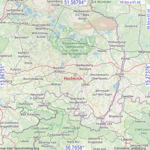
Hochkirch GPS coordinates[2]
51° 8' 56.328" North, 14° 34' 14.268" East
| Map corner | latitude | longitude |
|---|---|---|
| Upper-left | 51.58794°, | 13.86751° |
| Center: | 51.14898°, | 14.57063° |
| Lower-right: | 50.7058°, | 15.27376° |
| Map W x H: | 98.1×98.1 km | = 61×61mi |
| max Lat: | 55.01917° ⇑39.3% North |
| Hochkirch: | 51.14898° |
| min Lat: | ⇓60.7% South 47.40724° |
| min Long | Hochkirch | max Long |
| 5.92978° | 14.57063° | 14.98853° |
| W 99.5%⇐ | ⇒0.5% E |
Elevation
Elevation of Hochkirch is 289 m = 948 ft, and this is 39.9 m = 131 ft above average elevation for this country.
| Max E: |
1256 m = 4121 ft | 40.2% |
| Hochkirch | 289 m 948 ft | |
| Avg. | 249.1 m = 817 ft | |
Min E: |
-5 m = -16 ft | 59.8% |
See also: Germany elevation on elevation.city.
Geographical zone
Hochkirch is located in North temperate zone (between Tropic of Cancer and the Arctic Circle). Distance of this North polar circle is 1713.9 km =1065 mi to North.| Distance of | km | miles | from Hochkirch |
|---|---|---|---|
| North Pole | 4319.8 | 2684.2 | to North |
| Arctic Circle | 1713.9 | 1065 | to North |
| Tropic Cancer | 3081.3 | 1914.6 | to South |
| Equator | 5687.2 | 3533.9 | to South |


Nearby cities:
15 places around Hochkirch: (largest is in red/bold)
• Bautzen
10.1 km =6.3 mi,  290°
290°
• Beiersdorf
8.6 km =5.3 mi,  195°
195°
• Crostau
10.7 km =6.6 mi,  228°
228°
• Cunewalde
6.6 km =4.1 mi,  214°
214°
• Dürrhennersdorf
11.4 km =7.1 mi,  168°
168°
• Großpostwitz
9.6 km =6 mi,  250°
250°
• Großschweidnitz
10.2 km =6.3 mi,  150°
150°
• Kirschau
11.7 km =7.3 mi,  237°
237°
• Kubschütz
5.3 km =3.3 mi, 291°
• Lawalde
7.6 km =4.7 mi,  164°
164°
• Löbau
8.7 km =5.4 mi,  129°
129°
• Malschwitz
10.4 km =6.5 mi,  340°
340°
• Oppach
10.4 km =6.5 mi, 208°
• Schönbach
9.2 km =5.7 mi,  181°
181°
• Weißenberg
8.1 km =5 mi,  49°
49°
Sources, notices
• [Note1] Compared only with cities in Germany existing in our database
• [Src1] Map data: © OpenStreetMap contributors (CC-BY-SA)
• [Src2] Other city data from geonames.org with taken over terms of usage.
• [Src3] Geographical zone / Annual Mean Temperature by Robert A. Rohde @ Wikipedia
