Hilden geodata
Hilden (North Rhine-Westphalia) is a populated place; located in Germany in Europe/Berlin (GMT+2) time zone. With population of 56,565 people, there are 190 cities with bigger population in this country. Compared to other cities in Germany, 61.1% of cities are located further ↓South; 94.2% of cities are located further →East and 78.3% of cities have higher elevation than Hilden. Note1
Administrative division(s):
- Level 1: North Rhine-Westphalia
- Level 2: Düsseldorf District
- Level 3: Kreis Mettmann
- Level 4: Hilden


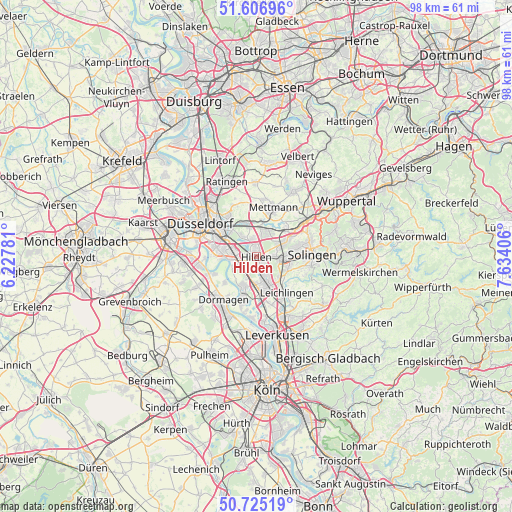
Hilden GPS coordinates[2]
51° 10' 5.448" North, 6° 55' 51.348" East
| Map corner | latitude | longitude |
|---|---|---|
| Upper-left | 51.60696°, | 6.22781° |
| Center: | 51.16818°, | 6.93093° |
| Lower-right: | 50.72519°, | 7.63406° |
| Map W x H: | 98×98 km | = 60.9×60.9mi |
| max Lat: | 55.01917° ⇑38.9% North |
| Hilden: | 51.16818° |
| min Lat: | ⇓61.1% South 47.40724° |
| min Long | Hilden | max Long |
| 5.92978° | 6.93093° | 14.98853° |
| W 5.8%⇐ | ⇒94.2% E |
Elevation
Elevation of Hilden is 52 m = 171 ft, and this is 197.1 m = 647 ft below average elevation for this country.
| Max E: |
1256 m = 4121 ft | 78.3% |
| Avg. | 249.1 m = 817 ft | |
| Hilden | 52 m = 171 ft | |
Min E: |
-5 m = -16 ft | 21.7% |
See also: Hilden elevation on elevation.city.
Geographical zone
Hilden is located in North temperate zone (between Tropic of Cancer and the Arctic Circle). Distance of this North polar circle is 1711.8 km =1063.7 mi to North.| Distance of | km | miles | from Hilden |
|---|---|---|---|
| North Pole | 4317.7 | 2682.9 | to North |
| Arctic Circle | 1711.8 | 1063.7 | to North |
| Tropic Cancer | 3083.4 | 1915.9 | to South |
| Equator | 5689.4 | 3535.2 | to South |


Nearby cities:
15 places around Hilden: (largest is in red/bold)
• Burscheid
15.8 km =9.8 mi,  126°
126°
• Dormagen
10.5 km =6.5 mi,  221°
221°
• Düsseldorf
12.3 km =7.6 mi,  298°
298°
• Düsseldorf-Pempelfort
12.7 km =7.9 mi,  307°
307°
• Erkrath
6.2 km =3.9 mi,  345°
345°
• Haan
6.4 km =4 mi,  63°
63°
• Langenfeld
6.8 km =4.2 mi,  169°
169°
• Leichlingen
9.2 km =5.7 mi,  138°
138°
• Leverkusen
15.8 km =9.8 mi, 166°
• Mettmann
9.7 km =6 mi,  18°
18°
• Monheim am Rhein
8.9 km =5.5 mi,  197°
197°
• Opladen
12.2 km =7.6 mi,  155°
155°
• Ratingen
15.4 km =9.6 mi,  338°
338°
• Solingen
10.7 km =6.6 mi,  86°
86°
• Wülfrath
14.7 km =9.1 mi,  30°
30°
Sources, notices
• [Note1] Compared only with cities in Germany existing in our database
• [Src1] Map data: © OpenStreetMap contributors (CC-BY-SA)
• [Src2] Other city data from geonames.org with taken over terms of usage.
• [Src3] Geographical zone / Annual Mean Temperature by Robert A. Rohde @ Wikipedia
