Mülsen geodata
Mülsen (Saxony) is a seat of a fourth-order administrative division; located in Germany in Europe/Berlin (GMT+2) time zone. With population of 12,489 people, there are 1300 cities with bigger population in this country. Compared to other cities in Germany, 53.2% of cities are located further ↓South; 88.5% of cities are located further ←West and 64.5% of cities have lower elevation than Mülsen. Note1


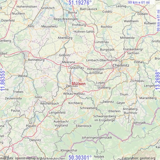
Mülsen GPS coordinates[2]
50° 45' 0" North, 12° 34' 0.012" East
| Map corner | latitude | longitude |
|---|---|---|
| Upper-left | 51.19276°, | 11.86355° |
| Center: | 50.75°, | 12.56667° |
| Lower-right: | 50.30301°, | 13.2698° |
| Map W x H: | 98.9×98.9 km | = 61.5×61.5mi |
| max Lat: | 55.01917° ⇑46.8% North |
| Mülsen: | 50.75° |
| min Lat: | ⇓53.2% South 47.40724° |
| min Long | Mülsen | max Long |
| 5.92978° | 12.56667° | 14.98853° |
| W 88.5%⇐ | ⇒11.5% E |
Elevation
Elevation of Mülsen is 318 m = 1043 ft, and this is 68.9 m = 226 ft above average elevation for this country.
| Max E: |
1256 m = 4121 ft | 35.5% |
| Mülsen | 318 m 1043 ft | |
| Avg. | 249.1 m = 817 ft | |
Min E: |
-5 m = -16 ft | 64.5% |
See also: Germany elevation on elevation.city.
Geographical zone
Mülsen is located in North temperate zone (between Tropic of Cancer and the Arctic Circle). Distance of this North polar circle is 1758.3 km =1092.6 mi to North.| Distance of | km | miles | from Mülsen |
|---|---|---|---|
| North Pole | 4364.2 | 2711.8 | to North |
| Arctic Circle | 1758.3 | 1092.6 | to North |
| Tropic Cancer | 3037 | 1887.1 | to South |
| Equator | 5642.9 | 3506.3 | to South |


Nearby cities:
15 places around Mülsen: (largest is in red/bold)
• Bernsdorf
7.3 km =4.5 mi,  75°
75°
• Dennheritz
10.1 km =6.3 mi,  314°
314°
• Gersdorf
10.6 km =6.6 mi,  90°
90°
• Glauchau
7.9 km =4.9 mi,  348°
348°
• Hartmannsdorf
9.9 km =6.2 mi,  275°
275°
• Hohndorf
8.1 km =5 mi,  97°
97°
• Lichtenstein
4.5 km =2.8 mi, 80°
• Oberlungwitz
10.6 km =6.6 mi,  70°
70°
• Oelsnitz
9.8 km =6.1 mi,  105°
105°
• Reinsdorf
5.9 km =3.7 mi,  187°
187°
• Sankt Egidien
5.7 km =3.5 mi,  45°
45°
• Weißenborn
6.9 km =4.3 mi,  260°
260°
• Wildenfels
9.6 km =6 mi,  161°
161°
• Wilkau-Haßlau
9.1 km =5.7 mi,  203°
203°
• Zwickau
6.1 km =3.8 mi,  245°
245°
Sources, notices
• [Note1] Compared only with cities in Germany existing in our database
• [Src1] Map data: © OpenStreetMap contributors (CC-BY-SA)
• [Src2] Other city data from geonames.org with taken over terms of usage.
• [Src3] Geographical zone / Annual Mean Temperature by Robert A. Rohde @ Wikipedia
