Grassau geodata
Grassau (Bavaria) is a populated place; located in Germany in Europe/Berlin (GMT+2) time zone. With population of 6,323 people, there are 2356 cities with bigger population in this country. Compared to other cities in Germany, 97.9% of cities are located further ↑North; 87.5% of cities are located further ←West and 91.6% of cities have lower elevation than Grassau. Note1
Administrative division(s):
- Level 1: Bavaria
- Level 2: Upper Bavaria
- Level 3: Landkreis Traunstein
- Level 4: Grassau, Markt


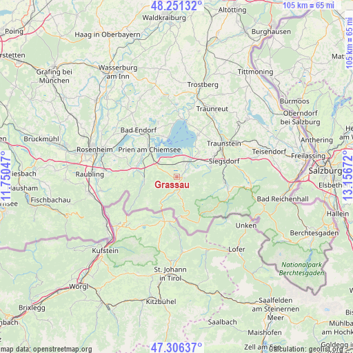
Grassau GPS coordinates[2]
47° 46' 51.564" North, 12° 27' 12.924" East
| Map corner | latitude | longitude |
|---|---|---|
| Upper-left | 48.25132°, | 11.75047° |
| Center: | 47.78099°, | 12.45359° |
| Lower-right: | 47.30637°, | 13.15672° |
| Map W x H: | 105.1×105.1 km | = 65.3×65.3mi |
| max Lat: | 55.01917° ⇑97.9% North |
| Grassau: | 47.78099° |
| min Lat: | ⇓2.1% South 47.40724° |
| min Long | Grassau | max Long |
| 5.92978° | 12.45359° | 14.98853° |
| W 87.5%⇐ | ⇒12.5% E |
Elevation
Elevation of Grassau is 537 m = 1762 ft, and this is 287.9 m = 945 ft above average elevation for this country.
| Max E: |
1256 m = 4121 ft | 8.4% |
| Grassau | 537 m 1762 ft | |
| Avg. | 249.1 m = 817 ft | |
Min E: |
-5 m = -16 ft | 91.6% |
See also: Germany elevation on elevation.city.
Geographical zone
Grassau is located in North temperate zone (between Tropic of Cancer and the Arctic Circle). Distance of this North polar circle is 2088.4 km =1297.7 mi to North.| Distance of | km | miles | from Grassau |
|---|---|---|---|
| North Pole | 4694.3 | 2916.9 | to North |
| Arctic Circle | 2088.4 | 1297.7 | to North |
| Tropic Cancer | 2706.8 | 1681.9 | to South |
| Equator | 5312.7 | 3301.2 | to South |


Nearby cities:
15 places around Grassau: (largest is in red/bold)
• Aschau im Chiemgau
9.8 km =6.1 mi,  267°
267°
• Bergen
10.6 km =6.6 mi,  73°
73°
• Bernau am Chiemsee
6.7 km =4.2 mi,  300°
300°
• Chiemsee
9.9 km =6.2 mi,  343°
343°
• Frasdorf
12.8 km =8 mi,  281°
281°
• Grabenstätt
9.8 km =6.1 mi,  43°
43°
• Gstadt am Chiemsee
11.8 km =7.3 mi,  347°
347°
• Marquartstein
2.6 km =1.6 mi,  165°
165°
• Prien am Chiemsee
11.6 km =7.2 mi,  316°
316°
• Reit im Winkl
11.6 km =7.2 mi, 173°
• Schleching
8 km =5 mi,  213°
213°
• Staudach-Egerndach
2.2 km =1.4 mi,  83°
83°
• Unterwössen
5.4 km =3.4 mi, 169°
• Vachendorf
13.3 km =8.3 mi,  58°
58°
• Übersee
4.5 km =2.8 mi,  29°
29°
Sources, notices
• [Note1] Compared only with cities in Germany existing in our database
• [Src1] Map data: © OpenStreetMap contributors (CC-BY-SA)
• [Src2] Other city data from geonames.org with taken over terms of usage.
• [Src3] Geographical zone / Annual Mean Temperature by Robert A. Rohde @ Wikipedia
