Georgenthal geodata
Georgenthal (Thuringia) is a populated place; located in Germany in Europe/Berlin (GMT+2) time zone. With population of 2,649 people, there are 4284 cities with bigger population in this country. Compared to other cities in Germany, 54.8% of cities are located further ↓South; 61.9% of cities are located further ←West and 73.1% of cities have lower elevation than Georgenthal. Note1
Administrative division(s):
- Level 1: Thuringia
- Level 3: Landkreis Gotha
- Level 4: Georgenthal/Thür. Wald


Georgenthal GPS coordinates[2]
50° 49' 55.38" North, 10° 39' 45.576" East
| Map corner | latitude | longitude |
|---|---|---|
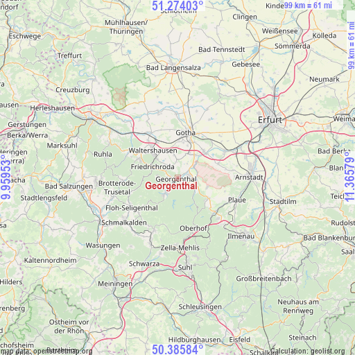
| Upper-left | 51.27403°, | 9.95953° |
| Center: | 50.83205°, | 10.66266° |
| Lower-right: | 50.38584°, | 11.36579° |
| Map W x H: | 98.8×98.8 km | = 61.4×61.4mi |
| max Lat: | 55.01917° ⇑45.2% North |
| Georgenthal: | 50.83205° |
| min Lat: | ⇓54.8% South 47.40724° |
| min Long | Georgenthal | max Long |
| 5.92978° | 10.66266° | 14.98853° |
| W 61.9%⇐ | ⇒38.1% E |
Elevation
Elevation of Georgenthal is 383 m = 1257 ft, and this is 133.9 m = 439 ft above average elevation for this country.
| Max E: |
1256 m = 4121 ft | 26.9% |
| Georgenthal | 383 m 1257 ft | |
| Avg. | 249.1 m = 817 ft | |
Min E: |
-5 m = -16 ft | 73.1% |
See also: Germany elevation on elevation.city.
Geographical zone
Georgenthal is located in North temperate zone (between Tropic of Cancer and the Arctic Circle). Distance of this North polar circle is 1749.2 km =1086.9 mi to North.| Distance of | km | miles | from Georgenthal |
|---|---|---|---|
| North Pole | 4355.1 | 2706.1 | to North |
| Arctic Circle | 1749.2 | 1086.9 | to North |
| Tropic Cancer | 3046.1 | 1892.8 | to South |
| Equator | 5652 | 3512 | to South |


Nearby cities:
15 places around Georgenthal: (largest is in red/bold)
• Crawinkel
10.1 km =6.3 mi,  122°
122°
• Emleben
7.5 km =4.7 mi,  22°
22°
• Ernstroda
4.7 km =2.9 mi,  320°
320°
• Finsterbergen
5.2 km =3.2 mi,  273°
273°
• Friedrichroda
7.4 km =4.6 mi,  292°
292°
• Gräfenhain
3.1 km =1.9 mi, 123°
• Herrenhof
2 km =1.2 mi,  57°
57°
• Hohenkirchen
3.3 km =2.1 mi,  52°
52°
• Hörselgau
11.2 km =7 mi,  330°
330°
• Luisenthal
7.3 km =4.5 mi,  137°
137°
• Petriroda
4.7 km =2.9 mi,  34°
34°
• Schwabhausen
7.9 km =4.9 mi,  37°
37°
• Tambach-Dietharz
5.5 km =3.4 mi,  216°
216°
• Waltershausen
10.4 km =6.5 mi, 315°
• Wölfis
8.6 km =5.3 mi,  107°
107°
Sources, notices
• [Note1] Compared only with cities in Germany existing in our database
• [Src1] Map data: © OpenStreetMap contributors (CC-BY-SA)
• [Src2] Other city data from geonames.org with taken over terms of usage.
• [Src3] Geographical zone / Annual Mean Temperature by Robert A. Rohde @ Wikipedia
