Fußgönheim geodata
Fußgönheim (Rheinland-Pfalz) is a seat of a fourth-order administrative division; located in Germany in Europe/Berlin (GMT+2) time zone. With population of 2,436 people, there are 4519 cities with bigger population in this country. Compared to other cities in Germany, 76.3% of cities are located further ↑North; 73% of cities are located further →East and 68% of cities have higher elevation than Fußgönheim. Note1


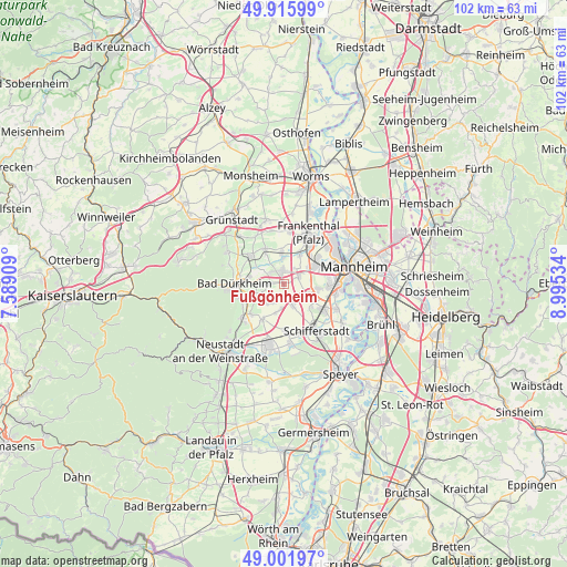
Fußgönheim GPS coordinates[2]
49° 27' 39.996" North, 8° 17' 31.992" East
| Map corner | latitude | longitude |
|---|---|---|
| Upper-left | 49.91599°, | 7.58909° |
| Center: | 49.46111°, | 8.29222° |
| Lower-right: | 49.00197°, | 8.99534° |
| Map W x H: | 101.6×101.6 km | = 63.1×63.1mi |
| max Lat: | 55.01917° ⇑76.3% North |
| Fußgönheim: | 49.46111° |
| min Lat: | ⇓23.7% South 47.40724° |
| min Long | Fußgönheim | max Long |
| 5.92978° | 8.29222° | 14.98853° |
| W 27%⇐ | ⇒73% E |
Elevation
Elevation of Fußgönheim is 102 m = 335 ft, and this is 147.1 m = 483 ft below average elevation for this country.
| Max E: |
1256 m = 4121 ft | 68% |
| Avg. | 249.1 m = 817 ft | |
| Fußgönheim | 102 m = 335 ft | |
Min E: |
-5 m = -16 ft | 32% |
See also: Germany elevation on elevation.city.
Geographical zone
Fußgönheim is located in North temperate zone (between Tropic of Cancer and the Arctic Circle). Distance of this North polar circle is 1901.6 km =1181.6 mi to North.| Distance of | km | miles | from Fußgönheim |
|---|---|---|---|
| North Pole | 4507.5 | 2800.8 | to North |
| Arctic Circle | 1901.6 | 1181.6 | to North |
| Tropic Cancer | 2893.6 | 1798 | to South |
| Equator | 5499.6 | 3417.3 | to South |


Nearby cities:
15 places around Fußgönheim: (largest is in red/bold)
• Birkenheide
3.1 km =1.9 mi,  315°
315°
• Dannstadt-Schauernheim
2.6 km =1.6 mi,  152°
152°
• Ellerstadt
2.4 km =1.5 mi,  271°
271°
• Erpolzheim
5.8 km =3.6 mi,  302°
302°
• Freinsheim
7.7 km =4.8 mi,  310°
310°
• Friedelsheim
5.2 km =3.2 mi,  252°
252°
• Gönnheim
4.1 km =2.5 mi, 249°
• Hochdorf-Assenheim
4.7 km =2.9 mi,  189°
189°
• Lambsheim
5.8 km =3.6 mi,  356°
356°
• Maxdorf
3 km =1.9 mi, 359°
• Meckenheim
7.4 km =4.6 mi,  211°
211°
• Mutterstadt
5.1 km =3.2 mi,  115°
115°
• Niederkirchen bei Deidesheim
7.9 km =4.9 mi,  229°
229°
• Rödersheim-Gronau
4.1 km =2.5 mi, 212°
• Weisenheim am Sand
7.1 km =4.4 mi,  333°
333°
Sources, notices
• [Note1] Compared only with cities in Germany existing in our database
• [Src1] Map data: © OpenStreetMap contributors (CC-BY-SA)
• [Src2] Other city data from geonames.org with taken over terms of usage.
• [Src3] Geographical zone / Annual Mean Temperature by Robert A. Rohde @ Wikipedia
