Birkenheide geodata
Birkenheide (Rheinland-Pfalz) is a seat of a fourth-order administrative division; located in Germany in Europe/Berlin (GMT+2) time zone. With population of 3,309 people, there are 3750 cities with bigger population in this country. Compared to other cities in Germany, 76.1% of cities are located further ↑North; 73.3% of cities are located further →East and 68.3% of cities have higher elevation than Birkenheide. Note1
Administrative division(s):
- Level 1: Rheinland-Pfalz
- Level 3: Rhein-Pfalz-Kreis
- Level 4: Birkenheide


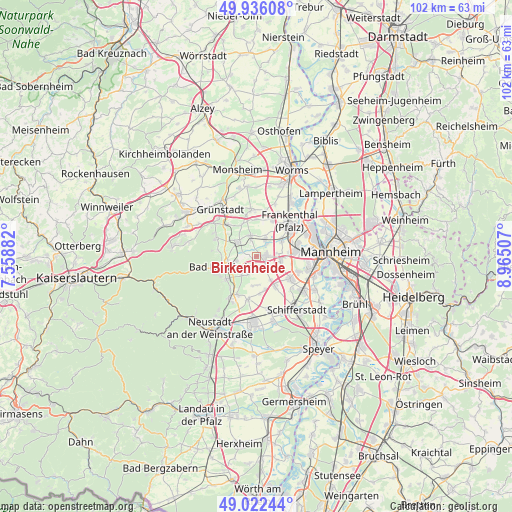
Birkenheide GPS coordinates[2]
49° 28' 53.004" North, 8° 15' 42.984" East
| Map corner | latitude | longitude |
|---|---|---|
| Upper-left | 49.93608°, | 7.55882° |
| Center: | 49.48139°, | 8.26194° |
| Lower-right: | 49.02244°, | 8.96507° |
| Map W x H: | 101.6×101.6 km | = 63.1×63.1mi |
| max Lat: | 55.01917° ⇑76.1% North |
| Birkenheide: | 49.48139° |
| min Lat: | ⇓23.9% South 47.40724° |
| min Long | Birkenheide | max Long |
| 5.92978° | 8.26194° | 14.98853° |
| W 26.7%⇐ | ⇒73.3% E |
Elevation
Elevation of Birkenheide is 101 m = 331 ft, and this is 148.1 m = 486 ft below average elevation for this country.
| Max E: |
1256 m = 4121 ft | 68.3% |
| Avg. | 249.1 m = 817 ft | |
| Birkenheide | 101 m = 331 ft | |
Min E: |
-5 m = -16 ft | 31.7% |
See also: Germany elevation on elevation.city.
Geographical zone
Birkenheide is located in North temperate zone (between Tropic of Cancer and the Arctic Circle). Distance of this North polar circle is 1899.4 km =1180.2 mi to North.| Distance of | km | miles | from Birkenheide |
|---|---|---|---|
| North Pole | 4505.2 | 2799.4 | to North |
| Arctic Circle | 1899.4 | 1180.2 | to North |
| Tropic Cancer | 2895.9 | 1799.4 | to South |
| Equator | 5501.8 | 3418.7 | to South |


Nearby cities:
15 places around Birkenheide: (largest is in red/bold)
• Bad Dürkheim
6.8 km =4.2 mi,  251°
251°
• Dannstadt-Schauernheim
5.7 km =3.5 mi,  143°
143°
• Ellerstadt
2.2 km =1.4 mi,  184°
184°
• Erpolzheim
2.8 km =1.7 mi,  287°
287°
• Freinsheim
4.6 km =2.9 mi,  307°
307°
• Friedelsheim
4.8 km =3 mi,  216°
216°
• Fußgönheim
3.1 km =1.9 mi, 135°
• Großkarlbach
6.9 km =4.3 mi,  337°
337°
• Gönnheim
4.1 km =2.5 mi,  204°
204°
• Herxheim am Berg
6.7 km =4.2 mi,  297°
297°
• Kallstadt
6.3 km =3.9 mi,  279°
279°
• Lambsheim
4 km =2.5 mi,  27°
27°
• Maxdorf
2.3 km =1.4 mi,  70°
70°
• Rödersheim-Gronau
5.7 km =3.5 mi, 180°
• Weisenheim am Sand
4.2 km =2.6 mi,  345°
345°
Sources, notices
• [Note1] Compared only with cities in Germany existing in our database
• [Src1] Map data: © OpenStreetMap contributors (CC-BY-SA)
• [Src2] Other city data from geonames.org with taken over terms of usage.
• [Src3] Geographical zone / Annual Mean Temperature by Robert A. Rohde @ Wikipedia
