Frankleben geodata
Frankleben (Saxony-Anhalt) is a populated place; located in Germany in Europe/Berlin (GMT+2) time zone. With population of 1,650 people, there are 5602 cities with bigger population in this country. Compared to other cities in Germany, 63.4% of cities are located further ↓South; 80.7% of cities are located further ←West and 68.5% of cities have higher elevation than Frankleben. Note1


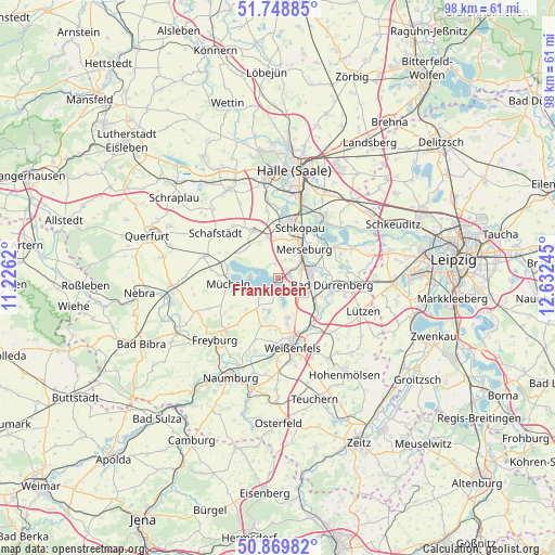
Frankleben GPS coordinates[2]
51° 18' 41.184" North, 11° 55' 45.552" East
| Map corner | latitude | longitude |
|---|---|---|
| Upper-left | 51.74885°, | 11.2262° |
| Center: | 51.31144°, | 11.92932° |
| Lower-right: | 50.86982°, | 12.63245° |
| Map W x H: | 97.7×97.7 km | = 60.7×60.7mi |
| max Lat: | 55.01917° ⇑36.6% North |
| Frankleben: | 51.31144° |
| min Lat: | ⇓63.4% South 47.40724° |
| min Long | Frankleben | max Long |
| 5.92978° | 11.92932° | 14.98853° |
| W 80.7%⇐ | ⇒19.3% E |
Elevation
Elevation of Frankleben is 100 m = 328 ft, and this is 149.1 m = 489 ft below average elevation for this country.
| Max E: |
1256 m = 4121 ft | 68.5% |
| Avg. | 249.1 m = 817 ft | |
| Frankleben | 100 m = 328 ft | |
Min E: |
-5 m = -16 ft | 31.5% |
See also: Germany elevation on elevation.city.
Geographical zone
Frankleben is located in North temperate zone (between Tropic of Cancer and the Arctic Circle). Distance of this North polar circle is 1695.9 km =1053.8 mi to North.| Distance of | km | miles | from Frankleben |
|---|---|---|---|
| North Pole | 4301.8 | 2673 | to North |
| Arctic Circle | 1695.9 | 1053.8 | to North |
| Tropic Cancer | 3099.4 | 1925.9 | to South |
| Equator | 5705.3 | 3545.1 | to South |


Nearby cities:
15 places around Frankleben: (largest is in red/bold)
• Beuna
1.6 km =1 mi,  67°
67°
• Braunsbedra
3.9 km =2.4 mi,  224°
224°
• Geusa
3.2 km =2 mi,  18°
18°
• Großkayna
2.3 km =1.4 mi,  174°
174°
• Gröst
8 km =5 mi, 224°
• Klobikau
7.9 km =4.9 mi,  302°
302°
• Knapendorf
7.2 km =4.5 mi,  5°
5°
• Krumpa
6.1 km =3.8 mi,  255°
255°
• Leuna
6.1 km =3.8 mi,  83°
83°
• Merseburg
6.4 km =4 mi,  40°
40°
• Milzau
7.4 km =4.6 mi,  343°
343°
• Reichardtswerben
7.2 km =4.5 mi, 166°
• Spergau
6.8 km =4.2 mi,  107°
107°
• Tagewerben
8.3 km =5.2 mi, 169°
• Zscherben
3.9 km =2.4 mi,  46°
46°
Sources, notices
• [Note1] Compared only with cities in Germany existing in our database
• [Src1] Map data: © OpenStreetMap contributors (CC-BY-SA)
• [Src2] Other city data from geonames.org with taken over terms of usage.
• [Src3] Geographical zone / Annual Mean Temperature by Robert A. Rohde @ Wikipedia
