Evessen geodata
Evessen (Lower Saxony) is a seat of a fourth-order administrative division; located in Germany in Europe/Berlin (GMT+2) time zone. With population of 1,422 people, there are 6039 cities with bigger population in this country. Compared to other cities in Germany, 73.9% of cities are located further ↓South; 62.6% of cities are located further ←West and 60.9% of cities have higher elevation than Evessen. Note1


Evessen GPS coordinates[2]
52° 11' 19.968" North, 10° 42' 38.916" East
| Map corner | latitude | longitude |
|---|---|---|
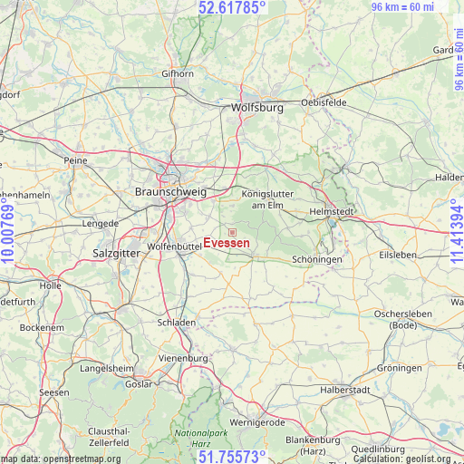
| Upper-left | 52.61785°, | 10.00769° |
| Center: | 52.18888°, | 10.71081° |
| Lower-right: | 51.75573°, | 11.41394° |
| Map W x H: | 95.9×95.9 km | = 59.6×59.6mi |
| max Lat: | 55.01917° ⇑26.1% North |
| Evessen: | 52.18888° |
| min Lat: | ⇓73.9% South 47.40724° |
| min Long | Evessen | max Long |
| 5.92978° | 10.71081° | 14.98853° |
| W 62.6%⇐ | ⇒37.4% E |
Elevation
Elevation of Evessen is 146 m = 479 ft, and this is 103.1 m = 338 ft below average elevation for this country.
| Max E: |
1256 m = 4121 ft | 60.9% |
| Avg. | 249.1 m = 817 ft | |
| Evessen | 146 m = 479 ft | |
Min E: |
-5 m = -16 ft | 39.1% |
See also: Germany elevation on elevation.city.
Geographical zone
Evessen is located in North temperate zone (between Tropic of Cancer and the Arctic Circle). Distance of this North polar circle is 1598.3 km =993.1 mi to North.| Distance of | km | miles | from Evessen |
|---|---|---|---|
| North Pole | 4204.2 | 2612.4 | to North |
| Arctic Circle | 1598.3 | 993.1 | to North |
| Tropic Cancer | 3196.9 | 1986.5 | to South |
| Equator | 5802.9 | 3605.8 | to South |


Nearby cities:
15 places around Evessen: (largest is in red/bold)
• Cremlingen
8 km =5 mi,  328°
328°
• Dahlum
11.3 km =7 mi,  123°
123°
• Destedt
5.5 km =3.4 mi,  359°
359°
• Dettum
3.4 km =2.1 mi,  237°
237°
• Erkerode
1.8 km =1.1 mi, 357°
• Kneitlingen
3.8 km =2.4 mi,  114°
114°
• Königslutter am Elm
10 km =6.2 mi,  46°
46°
• Remlingen
8.7 km =5.4 mi,  196°
196°
• Schöppenstedt
6.7 km =4.2 mi,  139°
139°
• Semmenstedt
10.6 km =6.6 mi,  185°
185°
• Sickte
5.7 km =3.5 mi,  305°
305°
• Uehrde
10.7 km =6.6 mi,  159°
159°
• Vahlberg
6.2 km =3.9 mi,  176°
176°
• Veltheim
3.8 km =2.4 mi, 330°
• Wittmar
8.2 km =5.1 mi,  216°
216°
Sources, notices
• [Note1] Compared only with cities in Germany existing in our database
• [Src1] Map data: © OpenStreetMap contributors (CC-BY-SA)
• [Src2] Other city data from geonames.org with taken over terms of usage.
• [Src3] Geographical zone / Annual Mean Temperature by Robert A. Rohde @ Wikipedia
