Ennetach geodata
Ennetach (Baden-Württemberg) is a populated place; located in Germany in Europe/Berlin (GMT+2) time zone. With population of 1,600 people, there are 5683 cities with bigger population in this country. Compared to other cities in Germany, 94.8% of cities are located further ↑North; 60.5% of cities are located further →East and 93.1% of cities have lower elevation than Ennetach. Note1
Administrative division(s):
- Level 1: Baden-Württemberg
- Level 2: Tübingen Region
- Level 3: Landkreis Sigmaringen
- Level 4: Mengen


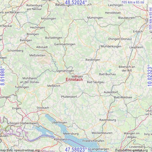
Ennetach GPS coordinates[2]
48° 3' 8.568" North, 9° 19' 12.36" East
| Map corner | latitude | longitude |
|---|---|---|
| Upper-left | 48.52024°, | 8.61698° |
| Center: | 48.05238°, | 9.3201° |
| Lower-right: | 47.58023°, | 10.02323° |
| Map W x H: | 104.5×104.5 km | = 64.9×64.9mi |
| max Lat: | 55.01917° ⇑94.8% North |
| Ennetach: | 48.05238° |
| min Lat: | ⇓5.2% South 47.40724° |
| min Long | Ennetach | max Long |
| 5.92978° | 9.3201° | 14.98853° |
| W 39.5%⇐ | ⇒60.5% E |
Elevation
Elevation of Ennetach is 560 m = 1837 ft, and this is 310.9 m = 1020 ft above average elevation for this country.
| Max E: |
1256 m = 4121 ft | 6.9% |
| Ennetach | 560 m 1837 ft | |
| Avg. | 249.1 m = 817 ft | |
Min E: |
-5 m = -16 ft | 93.1% |
See also: Germany elevation on elevation.city.
Geographical zone
Ennetach is located in North temperate zone (between Tropic of Cancer and the Arctic Circle). Distance of this North polar circle is 2058.3 km =1279 mi to North.| Distance of | km | miles | from Ennetach |
|---|---|---|---|
| North Pole | 4664.1 | 2898.1 | to North |
| Arctic Circle | 2058.3 | 1279 | to North |
| Tropic Cancer | 2737 | 1700.7 | to South |
| Equator | 5342.9 | 3319.9 | to South |


Nearby cities:
15 places around Ennetach: (largest is in red/bold)
• Altheim
14 km =8.7 mi,  42°
42°
• Bingen
7.4 km =4.6 mi,  331°
331°
• Ertingen
12.1 km =7.5 mi,  64°
64°
• Herbertingen
8.6 km =5.3 mi,  79°
79°
• Hohentengen
5 km =3.1 mi,  120°
120°
• Inzigkofen
10.6 km =6.6 mi,  280°
280°
• Krauchenwies
6.7 km =4.2 mi,  233°
233°
• Langenenslingen
11.5 km =7.1 mi,  21°
21°
• Mengen
0.8 km =0.5 mi,  113°
113°
• Neufra
14.3 km =8.9 mi,  53°
53°
• Ostrach
12.3 km =7.6 mi,  157°
157°
• Saulgau
14 km =8.7 mi, 106°
• Scheer
3 km =1.9 mi,  320°
320°
• Sigmaringen
7.8 km =4.8 mi,  300°
300°
• Sigmaringendorf
4.6 km =2.9 mi,  289°
289°
Sources, notices
• [Note1] Compared only with cities in Germany existing in our database
• [Src1] Map data: © OpenStreetMap contributors (CC-BY-SA)
• [Src2] Other city data from geonames.org with taken over terms of usage.
• [Src3] Geographical zone / Annual Mean Temperature by Robert A. Rohde @ Wikipedia
