Barenburg geodata
Barenburg (Lower Saxony) is a populated place; located in Germany in Europe/Berlin (GMT+2) time zone. With population of 1,277 people, there are 6373 cities with bigger population in this country. Compared to other cities in Germany, 79% of cities are located further ↓South; 68% of cities are located further →East and 85.4% of cities have higher elevation than Barenburg. Note1
Administrative division(s):
- Level 1: Lower Saxony
- Level 3: Landkreis Diepholz
- Level 4: Barenburg, Flecken


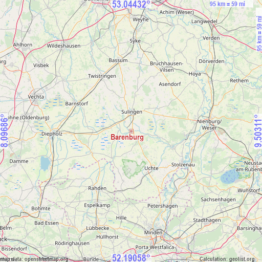
Barenburg GPS coordinates[2]
52° 37' 10.308" North, 8° 47' 59.964" East
| Map corner | latitude | longitude |
|---|---|---|
| Upper-left | 53.04432°, | 8.09686° |
| Center: | 52.61953°, | 8.79999° |
| Lower-right: | 52.19058°, | 9.50311° |
| Map W x H: | 94.9×94.9 km | = 59×59mi |
| max Lat: | 55.01917° ⇑21% North |
| Barenburg: | 52.61953° |
| min Lat: | ⇓79% South 47.40724° |
| min Long | Barenburg | max Long |
| 5.92978° | 8.79999° | 14.98853° |
| W 32%⇐ | ⇒68% E |
Elevation
Elevation of Barenburg is 34 m = 112 ft, and this is 215.1 m = 706 ft below average elevation for this country.
| Max E: |
1256 m = 4121 ft | 85.4% |
| Avg. | 249.1 m = 817 ft | |
| Barenburg | 34 m = 112 ft | |
Min E: |
-5 m = -16 ft | 14.6% |
See also: Germany elevation on elevation.city.
Geographical zone
Barenburg is located in North temperate zone (between Tropic of Cancer and the Arctic Circle). Distance of this North polar circle is 1550.4 km =963.4 mi to North.| Distance of | km | miles | from Barenburg |
|---|---|---|---|
| North Pole | 4156.3 | 2582.6 | to North |
| Arctic Circle | 1550.4 | 963.4 | to North |
| Tropic Cancer | 3244.8 | 2016.2 | to South |
| Equator | 5850.7 | 3635.5 | to South |


Nearby cities:
15 places around Barenburg: (largest is in red/bold)
• Bahrenborstel
5.5 km =3.4 mi,  173°
173°
• Barver
14 km =8.7 mi,  270°
270°
• Borstel
12.7 km =7.9 mi,  63°
63°
• Freistatt
10 km =6.2 mi, 272°
• Hassel
8.9 km =5.5 mi,  14°
14°
• Kirchdorf
3.6 km =2.2 mi,  138°
138°
• Maasen
9.9 km =6.2 mi,  35°
35°
• Mellinghausen
11.7 km =7.3 mi,  33°
33°
• Scholen
12.9 km =8 mi,  349°
349°
• Schwaförden
13.3 km =8.3 mi, 8°
• Siedenburg
12.5 km =7.8 mi,  49°
49°
• Sulingen
7.2 km =4.5 mi, 5°
• Uchte
15.2 km =9.4 mi,  150°
150°
• Varrel
4.5 km =2.8 mi, 272°
• Wehrbleck
7.5 km =4.7 mi,  278°
278°
Sources, notices
• [Note1] Compared only with cities in Germany existing in our database
• [Src1] Map data: © OpenStreetMap contributors (CC-BY-SA)
• [Src2] Other city data from geonames.org with taken over terms of usage.
• [Src3] Geographical zone / Annual Mean Temperature by Robert A. Rohde @ Wikipedia
