Kirchdorf geodata
Kirchdorf (Lower Saxony) is a seat of a fourth-order administrative division; located in Germany in Europe/Berlin (GMT+2) time zone. With population of 2,029 people, there are 5028 cities with bigger population in this country. Compared to other cities in Germany, 78.7% of cities are located further ↓South; 67.5% of cities are located further →East and 82.3% of cities have higher elevation than Kirchdorf. Note1


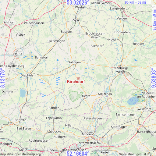
Kirchdorf GPS coordinates[2]
52° 35' 42.828" North, 8° 50' 5.64" East
| Map corner | latitude | longitude |
|---|---|---|
| Upper-left | 53.02026°, | 8.13178° |
| Center: | 52.59523°, | 8.8349° |
| Lower-right: | 52.16604°, | 9.53803° |
| Map W x H: | 95×95 km | = 59×59mi |
| max Lat: | 55.01917° ⇑21.3% North |
| Kirchdorf: | 52.59523° |
| min Lat: | ⇓78.7% South 47.40724° |
| min Long | Kirchdorf | max Long |
| 5.92978° | 8.8349° | 14.98853° |
| W 32.5%⇐ | ⇒67.5% E |
Elevation
Elevation of Kirchdorf is 41 m = 135 ft, and this is 208.1 m = 683 ft below average elevation for this country.
| Max E: |
1256 m = 4121 ft | 82.3% |
| Avg. | 249.1 m = 817 ft | |
| Kirchdorf | 41 m = 135 ft | |
Min E: |
-5 m = -16 ft | 17.7% |
See also: Germany elevation on elevation.city.
Geographical zone
Kirchdorf is located in North temperate zone (between Tropic of Cancer and the Arctic Circle). Distance of this North polar circle is 1553.1 km =965.1 mi to North.| Distance of | km | miles | from Kirchdorf |
|---|---|---|---|
| North Pole | 4159 | 2584.3 | to North |
| Arctic Circle | 1553.1 | 965.1 | to North |
| Tropic Cancer | 3242.1 | 2014.5 | to South |
| Equator | 5848 | 3633.8 | to South |


Nearby cities:
15 places around Kirchdorf: (largest is in red/bold)
• Bahrenborstel
3.3 km =2.1 mi,  212°
212°
• Barenburg
3.6 km =2.2 mi,  318°
318°
• Borstel
12.3 km =7.6 mi,  47°
47°
• Freistatt
12.7 km =7.9 mi,  284°
284°
• Hassel
11.3 km =7 mi,  359°
359°
• Maasen
11.3 km =7 mi,  17°
17°
• Mellinghausen
13.1 km =8.1 mi, 18°
• Pennigsehl
13.9 km =8.6 mi,  68°
68°
• Siedenburg
13 km =8.1 mi,  33°
33°
• Steyerberg
13.1 km =8.1 mi,  102°
102°
• Sulingen
10 km =6.2 mi,  350°
350°
• Uchte
11.7 km =7.3 mi,  154°
154°
• Varrel
7.5 km =4.7 mi,  293°
293°
• Warmsen
15.4 km =9.6 mi,  176°
176°
• Wehrbleck
10.5 km =6.5 mi, 290°
Sources, notices
• [Note1] Compared only with cities in Germany existing in our database
• [Src1] Map data: © OpenStreetMap contributors (CC-BY-SA)
• [Src2] Other city data from geonames.org with taken over terms of usage.
• [Src3] Geographical zone / Annual Mean Temperature by Robert A. Rohde @ Wikipedia
