Rosetta geodata
Rosetta (Beheira) is a populated place; located in Egypt in Africa/Cairo (GMT+2) time zone. With population of 64,481 people, there are 60 cities with bigger population in this country. Compared to other cities in Egypt, 98.6% of cities are located further ↓South; 92% of cities are located further →East and 61.6% of cities have higher elevation than Rosetta. Note1


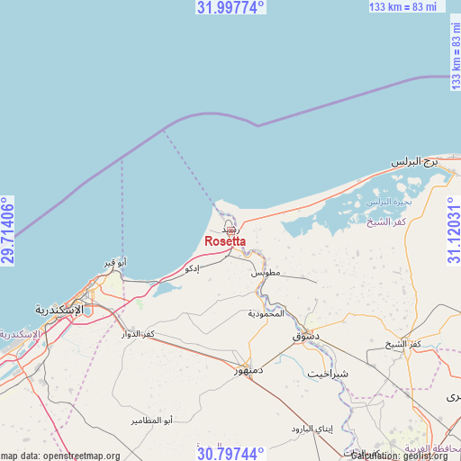
Rosetta GPS coordinates[2]
31° 23' 58.236" North, 30° 25' 1.848" East
| Map corner | latitude | longitude |
|---|---|---|
| Upper-left | 31.99774°, | 29.71406° |
| Center: | 31.39951°, | 30.41718° |
| Lower-right: | 30.79744°, | 31.12031° |
| Map W x H: | 133.5×133.5 km | = 83×83mi |
| max Lat: | 31.5084° ⇑1.4% North |
| Rosetta: | 31.39951° |
| min Lat: | ⇓98.6% South 22.3457° |
| min Long | Rosetta | max Long |
| 25.51965° | 30.41718° | 34.89572° |
| W 8%⇐ | ⇒92% E |
Elevation
Elevation of Rosetta is 15 m = 49 ft, and this is 28.5 m = 94 ft below average elevation for this country.
| Max E: |
1565 m = 5135 ft | 61.6% |
| Avg. | 43.5 m = 143 ft | |
| Rosetta | 15 m = 49 ft | |
Min E: |
-15 m = -49 ft | 38.4% |
See also: Rosetta elevation on elevation.city.
Geographical zone
Rosetta is located in North temperate zone (between Tropic of Cancer and the Arctic Circle). Distance of this Northern Tropic circle is 885.4 km =550.2 mi to South.| Distance of | km | miles | from Rosetta |
|---|---|---|---|
| North Pole | 6515.8 | 4048.7 | to North |
| Arctic Circle | 3909.9 | 2429.5 | to North |
| Tropic Cancer | 885.4 | 550.2 | to South |
| Equator | 3491.3 | 2169.4 | to South |


Nearby cities:
15 places around Rosetta: (largest is in red/bold)
• Abū al Maţāmīr
59.1 km =36.7 mi,  203°
203°
• Ad Dilinjāt
64.5 km =40.1 mi,  169°
169°
• Al Ḩāmūl
70 km =43.5 mi,  98°
98°
• Alexandria
52.5 km =32.6 mi,  245°
245°
• Basyūn
63.5 km =39.5 mi,  143°
143°
• Damanhūr
40.9 km =25.4 mi, 173°
• Disūq
36.9 km =22.9 mi, 143°
• Fuwwah
25.1 km =15.6 mi,  150°
150°
• Idkū
15.3 km =9.5 mi,  227°
227°
• Kafr ad Dawwār
40.2 km =25 mi,  222°
222°
• Kafr ash Shaykh
59.1 km =36.7 mi,  122°
122°
• Munshāt ‘Alī Āghā
38.1 km =23.7 mi,  134°
134°
• Quţūr
69.9 km =43.4 mi, 132°
• Sīdī Sālim
37.8 km =23.5 mi,  112°
112°
• Ḩawsh ‘Īsá
55.4 km =34.4 mi,  192°
192°
Sources, notices
• [Note1] Compared only with cities in Egypt existing in our database
• [Src1] Map data: © OpenStreetMap contributors (CC-BY-SA)
• [Src2] Other city data from geonames.org with taken over terms of usage.
• [Src3] Geographical zone / Annual Mean Temperature by Robert A. Rohde @ Wikipedia
