Macael geodata
Macael (Andalusia) is a seat of a third-order administrative division; located in Spain in Europe/Madrid (GMT+2) time zone. With population of 6,090 people, there are 1125 cities with bigger population in this country. Compared to other cities in Spain, 92.7% of cities are located further ↑North; 63.4% of cities are located further ←West and 55.5% of cities have higher elevation than Macael. Note1


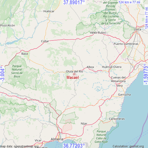
Macael GPS coordinates[2]
37° 19' 59.448" North, 2° 18' 3.132" West
| Map corner | latitude | longitude |
|---|---|---|
| Upper-left | 37.89017°, | -3.004° |
| Center: | 37.33318°, | -2.30087° |
| Lower-right: | 36.77203°, | -1.59775° |
| Map W x H: | 124.3×124.3 km | = 77.2×77.2mi |
| max Lat: | 43.74134° ⇑92.7% North |
| Macael: | 37.33318° |
| min Lat: | ⇓7.3% South 27.64134° |
| min Long | Macael | max Long |
| -18.00367° | -2.30087° | 4.2899° |
| W 63.4%⇐ | ⇒36.6% E |
Elevation
Elevation of Macael is 589 m = 1932 ft, and this is 9 m = 30 ft below average elevation for this country.
| Max E: |
1682 m = 5518 ft | 55.5% |
| Avg. | 598 m = 1962 ft | |
| Macael | 589 m = 1932 ft | |
Min E: |
0 m = 0 ft | 44.5% |
See also: Spain elevation on elevation.city.
Geographical zone
Macael is located in North temperate zone (between Tropic of Cancer and the Arctic Circle). Distance of this Northern Tropic circle is 1545.1 km =960.1 mi to South.| Distance of | km | miles | from Macael |
|---|---|---|---|
| North Pole | 5856 | 3638.7 | to North |
| Arctic Circle | 3250.1 | 2019.5 | to North |
| Tropic Cancer | 1545.1 | 960.1 | to South |
| Equator | 4151.1 | 2579.4 | to South |


Nearby cities:
15 places around Macael: (largest is in red/bold)
• Albánchez
11.8 km =7.3 mi,  117°
117°
• Alcudia de Monteagud
11.3 km =7 mi,  164°
164°
• Armuña de Almanzora
10 km =6.2 mi,  281°
281°
• Cantoria
9.8 km =6.1 mi,  78°
78°
• Chercos
9.3 km =5.8 mi, 160°
• Cóbdar
11.2 km =7 mi,  135°
135°
• Fines
4.9 km =3 mi,  50°
50°
• Laroya
4.9 km =3 mi,  216°
216°
• Olula del Río
2.4 km =1.5 mi,  7°
7°
• Partaloa
10.6 km =6.6 mi,  38°
38°
• Purchena
5.5 km =3.4 mi,  286°
286°
• Sierro
8.7 km =5.4 mi,  262°
262°
• Somontín
10.1 km =6.3 mi,  310°
310°
• Suflí
7.7 km =4.8 mi,  274°
274°
• Urrácal
9.1 km =5.7 mi,  321°
321°
Sources, notices
• [Note1] Compared only with cities in Spain existing in our database
• [Src1] Map data: © OpenStreetMap contributors (CC-BY-SA)
• [Src2] Other city data from geonames.org with taken over terms of usage.
• [Src3] Geographical zone / Annual Mean Temperature by Robert A. Rohde @ Wikipedia
