Benatae geodata
Benatae (Andalusia) is a seat of a third-order administrative division; located in Spain in Europe/Madrid (GMT+2) time zone. In our database, there are 6762 cities with bigger population. Compared to other cities in Spain, 86.4% of cities are located further ↑North; 59.2% of cities are located further ←West and 75% of cities have lower elevation than Benatae. Note1


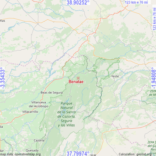
Benatae GPS coordinates[2]
38° 21' 11.628" North, 2° 39' 4.356" West
| Map corner | latitude | longitude |
|---|---|---|
| Upper-left | 38.90252°, | -3.35433° |
| Center: | 38.35323°, | -2.65121° |
| Lower-right: | 37.79974°, | -1.94808° |
| Map W x H: | 122.6×122.6 km | = 76.2×76.2mi |
| max Lat: | 43.74134° ⇑86.4% North |
| Benatae: | 38.35323° |
| min Lat: | ⇓13.6% South 27.64134° |
| min Long | Benatae | max Long |
| -18.00367° | -2.65121° | 4.2899° |
| W 59.2%⇐ | ⇒40.8% E |
Elevation
Elevation of Benatae is 851 m = 2792 ft, and this is 253 m = 830 ft above average elevation for this country.
| Max E: |
1682 m = 5518 ft | 25% |
| Benatae | 851 m 2792 ft | |
| Avg. | 598 m = 1962 ft | |
Min E: |
0 m = 0 ft | 75% |
See also: Spain elevation on elevation.city.
Geographical zone
Benatae is located in North temperate zone (between Tropic of Cancer and the Arctic Circle). Distance of this Northern Tropic circle is 1658.6 km =1030.6 mi to South.| Distance of | km | miles | from Benatae |
|---|---|---|---|
| North Pole | 5742.6 | 3568.3 | to North |
| Arctic Circle | 3136.7 | 1949.1 | to North |
| Tropic Cancer | 1658.6 | 1030.6 | to South |
| Equator | 4264.5 | 2649.8 | to South |


Nearby cities:
15 places around Benatae: (largest is in red/bold)
• Arroyo del Ojanco
21.6 km =13.4 mi,  260°
260°
• Beas de Segura
23.6 km =14.7 mi,  241°
241°
• Bienservida
18.6 km =11.6 mi,  10°
10°
• Cotillas
15.4 km =9.6 mi,  55°
55°
• Génave
11.2 km =7 mi,  320°
320°
• La Puerta de Segura
7.7 km =4.8 mi,  269°
269°
• Orcera
4.2 km =2.6 mi,  196°
196°
• Puente de Génave
13.3 km =8.3 mi, 271°
• Riópar
23.9 km =14.9 mi,  47°
47°
• Salobre
28.1 km =17.5 mi,  18°
18°
• Segura de la Sierra
6.2 km =3.9 mi,  180°
180°
• Siles
7.3 km =4.5 mi, 56°
• Torres de Albanchez
7.3 km =4.5 mi,  341°
341°
• Villapalacios
24.7 km =15.3 mi,  3°
3°
• Villaverde de Guadalimar
16.2 km =10.1 mi, 45°
Sources, notices
• [Note1] Compared only with cities in Spain existing in our database
• [Src1] Map data: © OpenStreetMap contributors (CC-BY-SA)
• [Src2] Other city data from geonames.org with taken over terms of usage.
• [Src3] Geographical zone / Annual Mean Temperature by Robert A. Rohde @ Wikipedia
