Alconera geodata
Alconera (Extremadura) is a seat of a third-order administrative division; located in Spain in Europe/Madrid (GMT+2) time zone. With population of 767 people, there are 3277 cities with bigger population in this country. Compared to other cities in Spain, 86.2% of cities are located further ↑North; 90.9% of cities are located further →East and 64.4% of cities have higher elevation than Alconera. Note1


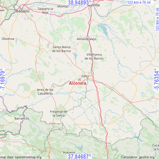
Alconera GPS coordinates[2]
38° 24' 0" North, 6° 28' 0.012" West
| Map corner | latitude | longitude |
|---|---|---|
| Upper-left | 38.94893°, | -7.16979° |
| Center: | 38.4°, | -6.46667° |
| Lower-right: | 37.84687°, | -5.76354° |
| Map W x H: | 122.5×122.5 km | = 76.1×76.1mi |
| max Lat: | 43.74134° ⇑86.2% North |
| Alconera: | 38.4° |
| min Lat: | ⇓13.8% South 27.64134° |
| min Long | Alconera | max Long |
| -18.00367° | -6.46667° | 4.2899° |
| W 9.1%⇐ | ⇒90.9% E |
Elevation
Elevation of Alconera is 467 m = 1532 ft, and this is 131 m = 430 ft below average elevation for this country.
| Max E: |
1682 m = 5518 ft | 64.4% |
| Avg. | 598 m = 1962 ft | |
| Alconera | 467 m = 1532 ft | |
Min E: |
0 m = 0 ft | 35.6% |
See also: Spain elevation on elevation.city.
Geographical zone
Alconera is located in North temperate zone (between Tropic of Cancer and the Arctic Circle). Distance of this Northern Tropic circle is 1663.8 km =1033.8 mi to South.| Distance of | km | miles | from Alconera |
|---|---|---|---|
| North Pole | 5737.4 | 3565.1 | to North |
| Arctic Circle | 3131.5 | 1945.8 | to North |
| Tropic Cancer | 1663.8 | 1033.8 | to South |
| Equator | 4269.7 | 2653.1 | to South |


Nearby cities:
15 places around Alconera: (largest is in red/bold)
• Atalaya
7.4 km =4.6 mi,  180°
180°
• Burguillos del Cerro
11 km =6.8 mi,  258°
258°
• Calzadilla de Los Barros
17.2 km =10.7 mi,  130°
130°
• Feria
15 km =9.3 mi,  325°
325°
• Fuente de Cantos
22.1 km =13.7 mi,  138°
138°
• Fuente del Maestre
14.2 km =8.8 mi,  6°
6°
• La Parra
19.1 km =11.9 mi,  314°
314°
• Los Santos de Maimona
9.1 km =5.7 mi,  52°
52°
• Medina de las Torres
9.4 km =5.8 mi, 141°
• Puebla de Sancho Pérez
5.8 km =3.6 mi,  90°
90°
• Salvatierra de los Barros
21.5 km =13.4 mi,  298°
298°
• Valencia del Ventoso
14.8 km =9.2 mi, 180°
• Valverde de Burguillos
10.1 km =6.3 mi,  216°
216°
• Villafranca de los Barros
21.2 km =13.2 mi,  31°
31°
• Zafra
5.1 km =3.2 mi,  56°
56°
Sources, notices
• [Note1] Compared only with cities in Spain existing in our database
• [Src1] Map data: © OpenStreetMap contributors (CC-BY-SA)
• [Src2] Other city data from geonames.org with taken over terms of usage.
• [Src3] Geographical zone / Annual Mean Temperature by Robert A. Rohde @ Wikipedia
