Vierlas geodata
Vierlas (Aragon) is a seat of a third-order administrative division; located in Spain in Europe/Madrid (GMT+2) time zone. With population of 94 people, there are 6009 cities with bigger population in this country. Compared to other cities in Spain, 71.5% of cities are located further ↓South; 70.9% of cities are located further ←West and 65.3% of cities have higher elevation than Vierlas. Note1


Vierlas GPS coordinates[2]
41° 55' 37.488" North, 1° 40' 52.428" West
| Map corner | latitude | longitude |
|---|---|---|
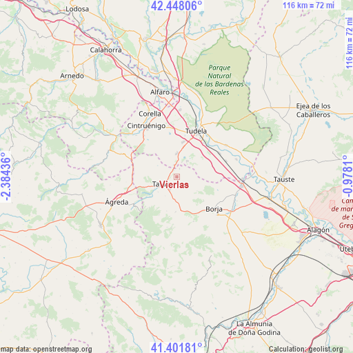
| Upper-left | 42.44806°, | -2.38436° |
| Center: | 41.92708°, | -1.68123° |
| Lower-right: | 41.40181°, | -0.9781° |
| Map W x H: | 116.3×116.3 km | = 72.3×72.3mi |
| max Lat: | 43.74134° ⇑28.5% North |
| Vierlas: | 41.92708° |
| min Lat: | ⇓71.5% South 27.64134° |
| min Long | Vierlas | max Long |
| -18.00367° | -1.68123° | 4.2899° |
| W 70.9%⇐ | ⇒29.1% E |
Elevation
Elevation of Vierlas is 456 m = 1496 ft, and this is 142 m = 466 ft below average elevation for this country.
| Max E: |
1682 m = 5518 ft | 65.3% |
| Avg. | 598 m = 1962 ft | |
| Vierlas | 456 m = 1496 ft | |
Min E: |
0 m = 0 ft | 34.7% |
See also: Spain elevation on elevation.city.
Geographical zone
Vierlas is located in North temperate zone (between Tropic of Cancer and the Arctic Circle). Distance of this Northern Tropic circle is 2055.9 km =1277.5 mi to South.| Distance of | km | miles | from Vierlas |
|---|---|---|---|
| North Pole | 5345.2 | 3321.4 | to North |
| Arctic Circle | 2739.3 | 1702.1 | to North |
| Tropic Cancer | 2055.9 | 1277.5 | to South |
| Equator | 4661.9 | 2896.8 | to South |


Nearby cities:
15 places around Vierlas: (largest is in red/bold)
• Ablitas
6.3 km =3.9 mi,  32°
32°
• Barillas
5.9 km =3.7 mi,  41°
41°
• Cascante
7.9 km =4.9 mi,  0°
0°
• Grisel
7.3 km =4.5 mi,  211°
211°
• Lituénigo
12.2 km =7.6 mi, 213°
• Malón
2.9 km =1.8 mi,  15°
15°
• Monteagudo
4.4 km =2.7 mi,  357°
357°
• Murchante
11.8 km =7.3 mi,  10°
10°
• Novallas
3 km =1.9 mi,  328°
328°
• Santa Cruz de Moncayo
8 km =5 mi,  231°
231°
• Tarazona
4.5 km =2.8 mi,  236°
236°
• Torrellas
8.3 km =5.2 mi, 244°
• Trasmoz
11.8 km =7.3 mi,  197°
197°
• Tulebras
5.6 km =3.5 mi, 4°
• Vera de Moncayo
11.5 km =7.1 mi,  182°
182°
Sources, notices
• [Note1] Compared only with cities in Spain existing in our database
• [Src1] Map data: © OpenStreetMap contributors (CC-BY-SA)
• [Src2] Other city data from geonames.org with taken over terms of usage.
• [Src3] Geographical zone / Annual Mean Temperature by Robert A. Rohde @ Wikipedia
