Montehermoso geodata
Montehermoso (Extremadura) is a seat of a third-order administrative division; located in Spain in Europe/Madrid (GMT+2) time zone. With population of 5,693 people, there are 1177 cities with bigger population in this country. Compared to other cities in Spain, 69% of cities are located further ↑North; 89.9% of cities are located further →East and 68.9% of cities have higher elevation than Montehermoso. Note1
Administrative division(s):
- Level 1: Extremadura
- Level 2: Provincia de Cáceres
- Level 3: Montehermoso


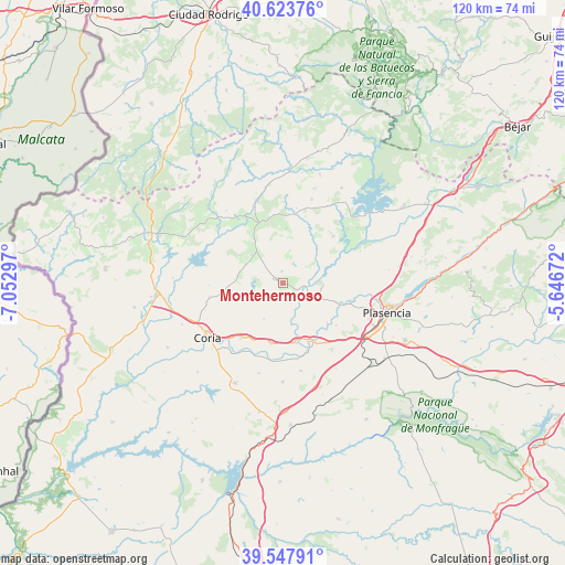
Montehermoso GPS coordinates[2]
40° 5' 16.656" North, 6° 20' 59.424" West
| Map corner | latitude | longitude |
|---|---|---|
| Upper-left | 40.62376°, | -7.05297° |
| Center: | 40.08796°, | -6.34984° |
| Lower-right: | 39.54791°, | -5.64672° |
| Map W x H: | 119.6×119.6 km | = 74.3×74.3mi |
| max Lat: | 43.74134° ⇑69% North |
| Montehermoso: | 40.08796° |
| min Lat: | ⇓31% South 27.64134° |
| min Long | Montehermoso | max Long |
| -18.00367° | -6.34984° | 4.2899° |
| W 10.1%⇐ | ⇒89.9% E |
Elevation
Elevation of Montehermoso is 399 m = 1309 ft, and this is 199 m = 653 ft below average elevation for this country.
| Max E: |
1682 m = 5518 ft | 68.9% |
| Avg. | 598 m = 1962 ft | |
| Montehermoso | 399 m = 1309 ft | |
Min E: |
0 m = 0 ft | 31.1% |
See also: Spain elevation on elevation.city.
Geographical zone
Montehermoso is located in North temperate zone (between Tropic of Cancer and the Arctic Circle). Distance of this Northern Tropic circle is 1851.4 km =1150.4 mi to South.| Distance of | km | miles | from Montehermoso |
|---|---|---|---|
| North Pole | 5549.7 | 3448.4 | to North |
| Arctic Circle | 2943.8 | 1829.2 | to North |
| Tropic Cancer | 1851.4 | 1150.4 | to South |
| Equator | 4457.4 | 2769.7 | to South |


Nearby cities:
15 places around Montehermoso: (largest is in red/bold)
• Aceituna
7.1 km =4.4 mi,  11°
11°
• Ahigal
17.8 km =11.1 mi,  50°
50°
• Calzadilla
15.9 km =9.9 mi,  258°
258°
• Carcaboso
12.3 km =7.6 mi,  110°
110°
• Galisteo
14.2 km =8.8 mi,  150°
150°
• Guijo de Coria
9.8 km =6.1 mi,  278°
278°
• Guijo de Galisteo
5.2 km =3.2 mi, 277°
• Hernán-Pérez
16.9 km =10.5 mi,  324°
324°
• Morcillo
8.7 km =5.4 mi,  207°
207°
• Pozuelo de Zarzón
8.7 km =5.4 mi, 320°
• Santa Cruz de Paniagua
11.6 km =7.2 mi,  4°
4°
• Santibáñez el Bajo
14.5 km =9 mi, 47°
• Valdeobispo
8.7 km =5.4 mi,  93°
93°
• Villa del Campo
8.9 km =5.5 mi,  312°
312°
• Villanueva de la Sierra
13.5 km =8.4 mi,  339°
339°
Sources, notices
• [Note1] Compared only with cities in Spain existing in our database
• [Src1] Map data: © OpenStreetMap contributors (CC-BY-SA)
• [Src2] Other city data from geonames.org with taken over terms of usage.
• [Src3] Geographical zone / Annual Mean Temperature by Robert A. Rohde @ Wikipedia
