Calanda geodata
Calanda (Aragon) is a seat of a third-order administrative division; located in Spain in Europe/Madrid (GMT+2) time zone. With population of 3,630 people, there are 1555 cities with bigger population in this country. Compared to other cities in Spain, 53% of cities are located further ↑North; 85.3% of cities are located further ←West and 64.7% of cities have higher elevation than Calanda. Note1


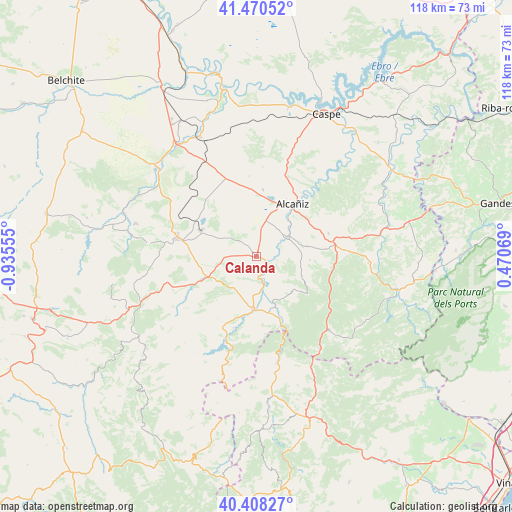
Calanda GPS coordinates[2]
40° 56' 29.508" North, 0° 13' 56.748" West
| Map corner | latitude | longitude |
|---|---|---|
| Upper-left | 41.47052°, | -0.93555° |
| Center: | 40.94153°, | -0.23243° |
| Lower-right: | 40.40827°, | 0.47069° |
| Map W x H: | 118.1×118.1 km | = 73.4×73.4mi |
| max Lat: | 43.74134° ⇑53% North |
| Calanda: | 40.94153° |
| min Lat: | ⇓47% South 27.64134° |
| min Long | Calanda | max Long |
| -18.00367° | -0.23243° | 4.2899° |
| W 85.3%⇐ | ⇒14.7% E |
Elevation
Elevation of Calanda is 464 m = 1522 ft, and this is 134 m = 440 ft below average elevation for this country.
| Max E: |
1682 m = 5518 ft | 64.7% |
| Avg. | 598 m = 1962 ft | |
| Calanda | 464 m = 1522 ft | |
Min E: |
0 m = 0 ft | 35.3% |
See also: Spain elevation on elevation.city.
Geographical zone
Calanda is located in North temperate zone (between Tropic of Cancer and the Arctic Circle). Distance of this Northern Tropic circle is 1946.4 km =1209.4 mi to South.| Distance of | km | miles | from Calanda |
|---|---|---|---|
| North Pole | 5454.8 | 3389.5 | to North |
| Arctic Circle | 2848.9 | 1770.2 | to North |
| Tropic Cancer | 1946.4 | 1209.4 | to South |
| Equator | 4552.3 | 2828.7 | to South |


Nearby cities:
15 places around Calanda: (largest is in red/bold)
• Aguaviva
13.6 km =8.5 mi,  166°
166°
• Alcañiz
14.7 km =9.1 mi,  34°
34°
• Alcorisa
13.7 km =8.5 mi,  246°
246°
• Andorra
18.5 km =11.5 mi,  282°
282°
• Berge
18.8 km =11.7 mi,  240°
240°
• Castellote
17.4 km =10.8 mi,  205°
205°
• Castelserás
8.5 km =5.3 mi,  58°
58°
• Foz-Calanda
3.5 km =2.2 mi,  231°
231°
• Fórnoles
19.9 km =12.4 mi,  105°
105°
• La Ginebrosa
11.4 km =7.1 mi,  134°
134°
• Mas de las Matas
12 km =7.5 mi,  184°
184°
• Seno
16.9 km =10.5 mi, 211°
• Torrecilla de Alcañiz
12.1 km =7.5 mi,  79°
79°
• Torrevelilla
11.2 km =7 mi, 113°
• Valdealgorfa
17.5 km =10.9 mi,  71°
71°
Sources, notices
• [Note1] Compared only with cities in Spain existing in our database
• [Src1] Map data: © OpenStreetMap contributors (CC-BY-SA)
• [Src2] Other city data from geonames.org with taken over terms of usage.
• [Src3] Geographical zone / Annual Mean Temperature by Robert A. Rohde @ Wikipedia
