Algete geodata
Algete (Madrid) is a seat of a third-order administrative division; located in Spain in Europe/Madrid (GMT+2) time zone. With population of 20,204 people, there are 474 cities with bigger population in this country. Compared to other cities in Spain, 59.9% of cities are located further ↑North; 52.1% of cities are located further →East and 56.7% of cities have lower elevation than Algete. Note1


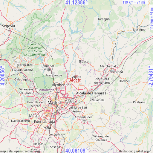
Algete GPS coordinates[2]
40° 35' 49.596" North, 3° 29' 50.748" West
| Map corner | latitude | longitude |
|---|---|---|
| Upper-left | 41.12886°, | -4.20056° |
| Center: | 40.59711°, | -3.49743° |
| Lower-right: | 40.06109°, | -2.79431° |
| Map W x H: | 118.7×118.7 km | = 73.8×73.8mi |
| max Lat: | 43.74134° ⇑59.9% North |
| Algete: | 40.59711° |
| min Lat: | ⇓40.1% South 27.64134° |
| min Long | Algete | max Long |
| -18.00367° | -3.49743° | 4.2899° |
| W 47.9%⇐ | ⇒52.1% E |
Elevation
Elevation of Algete is 721 m = 2365 ft, and this is 123 m = 404 ft above average elevation for this country.
| Max E: |
1682 m = 5518 ft | 43.3% |
| Algete | 721 m 2365 ft | |
| Avg. | 598 m = 1962 ft | |
Min E: |
0 m = 0 ft | 56.7% |
See also: Spain elevation on elevation.city.
Geographical zone
Algete is located in North temperate zone (between Tropic of Cancer and the Arctic Circle). Distance of this Northern Tropic circle is 1908.1 km =1185.6 mi to South.| Distance of | km | miles | from Algete |
|---|---|---|---|
| North Pole | 5493.1 | 3413.3 | to North |
| Arctic Circle | 2887.2 | 1794 | to North |
| Tropic Cancer | 1908.1 | 1185.6 | to South |
| Equator | 4514 | 2804.9 | to South |


Nearby cities:
15 places around Algete: (largest is in red/bold)
• Ajalvir
7.4 km =4.6 mi,  167°
167°
• Alcobendas
13.4 km =8.3 mi,  245°
245°
• Camarma de Esteruelas
11.7 km =7.3 mi,  116°
116°
• Cobeña
3.4 km =2.1 mi,  183°
183°
• Daganzo de Arriba
7 km =4.3 mi,  148°
148°
• Fresno de Torote
7.4 km =4.6 mi,  95°
95°
• Fuente el Saz
4.1 km =2.5 mi,  343°
343°
• Paracuellos de Jarama
10.7 km =6.6 mi,  193°
193°
• Ribatejada
11.8 km =7.3 mi,  50°
50°
• San Agustín del Guadalix
13.5 km =8.4 mi,  312°
312°
• San Sebastián de los Reyes
11.9 km =7.4 mi, 247°
• Torrejón del Rey
14.7 km =9.1 mi,  69°
69°
• Valdeavero
14.6 km =9.1 mi,  75°
75°
• Valdeolmos
5.9 km =3.7 mi,  41°
41°
• Valdetorres de Jarama
10.8 km =6.7 mi,  353°
353°
Sources, notices
• [Note1] Compared only with cities in Spain existing in our database
• [Src1] Map data: © OpenStreetMap contributors (CC-BY-SA)
• [Src2] Other city data from geonames.org with taken over terms of usage.
• [Src3] Geographical zone / Annual Mean Temperature by Robert A. Rohde @ Wikipedia
