Virojoki geodata
Virojoki (Kymenlaakso) is a populated place; located in Finland in Europe/Helsinki (GMT+3) time zone. With population of 1,328 people, there are 405 cities with bigger population in this country. Compared to other cities in Finland, 81.6% of cities are located further ↑North; 86.1% of cities are located further ←West and 97% of cities have higher elevation than Virojoki. Note1


Virojoki GPS coordinates[2]
60° 34' 45.84" North, 27° 42' 12.744" East
| Map corner | latitude | longitude |
|---|---|---|
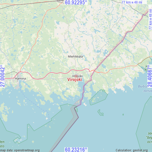
| Upper-left | 60.92295°, | 27.00042° |
| Center: | 60.5794°, | 27.70354° |
| Lower-right: | 60.23216°, | 28.40667° |
| Map W x H: | 76.8×76.8 km | = 47.7×47.7mi |
| max Lat: | 69.90864° ⇑81.6% North |
| Virojoki: | 60.5794° |
| min Lat: | ⇓18.4% South 59.83333° |
| min Long | Virojoki | max Long |
| 21.2° | 27.70354° | 30.93276° |
| W 86.1%⇐ | ⇒13.9% E |
Elevation
Elevation of Virojoki is 5 m = 16 ft, and this is 72.1 m = 237 ft below average elevation for this country.
| Max E: |
299 m = 981 ft | 97% |
| Avg. | 77.1 m = 253 ft | |
| Virojoki | 5 m = 16 ft | |
Min E: |
1 m = 3 ft | 3% |
See also: Finland elevation on elevation.city.
Geographical zone
Virojoki is located in North temperate zone (between Tropic of Cancer and the Arctic Circle). Distance of this North polar circle is 665.4 km =413.5 mi to North.| Distance of | km | miles | from Virojoki |
|---|---|---|---|
| North Pole | 3271.3 | 2032.7 | to North |
| Arctic Circle | 665.4 | 413.5 | to North |
| Tropic Cancer | 4129.9 | 2566.2 | to South |
| Equator | 6735.8 | 4185.4 | to South |


Nearby cities:
15 places around Virojoki: (largest is in red/bold)
• Anjala
48.8 km =30.3 mi,  283°
283°
• Broby
54.7 km =34 mi,  260°
260°
• Hamina
27.6 km =17.1 mi,  267°
267°
• Karhula
42.7 km =26.5 mi, 261°
• Katariina
43.9 km =27.3 mi,  251°
251°
• Kotka
43.3 km =26.9 mi, 253°
• Kouvola
63.2 km =39.3 mi,  300°
300°
• Lappeenranta
59.4 km =36.9 mi,  26°
26°
• Lemi
54 km =33.6 mi,  5°
5°
• Luumäki
39.1 km =24.3 mi,  350°
350°
• Miehikkälä
9.7 km =6 mi,  358°
358°
• Nuijamaa
62.5 km =38.8 mi,  47°
47°
• Taavetti
38.2 km =23.7 mi, 348°
• Virolahti
7.1 km =4.4 mi,  189°
189°
• Ylämaa
29.4 km =18.3 mi, 33°
Sources, notices
• [Note1] Compared only with cities in Finland existing in our database
• [Src1] Map data: © OpenStreetMap contributors (CC-BY-SA)
• [Src2] Other city data from geonames.org with taken over terms of usage.
• [Src3] Geographical zone / Annual Mean Temperature by Robert A. Rohde @ Wikipedia
