Karhula geodata
Karhula (Kymenlaakso) is a populated place; located in Finland in Europe/Helsinki (GMT+3) time zone. With population of 22,867 people, there are 42 cities with bigger population in this country. Compared to other cities in Finland, 84.4% of cities are located further ↑North; 79.1% of cities are located further ←West and 97.4% of cities have higher elevation than Karhula. Note1


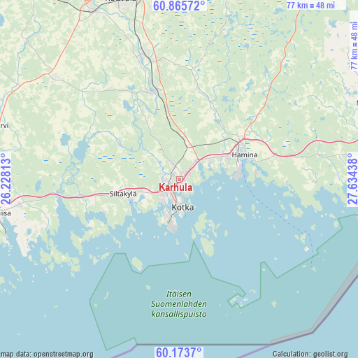
Karhula GPS coordinates[2]
60° 31' 17.616" North, 26° 55' 52.5" East
| Map corner | latitude | longitude |
|---|---|---|
| Upper-left | 60.86572°, | 26.22813° |
| Center: | 60.52156°, | 26.93125° |
| Lower-right: | 60.1737°, | 27.63438° |
| Map W x H: | 76.9×76.9 km | = 47.8×47.8mi |
| max Lat: | 69.90864° ⇑84.4% North |
| Karhula: | 60.52156° |
| min Lat: | ⇓15.6% South 59.83333° |
| min Long | Karhula | max Long |
| 21.2° | 26.93125° | 30.93276° |
| W 79.1%⇐ | ⇒20.9% E |
Elevation
Elevation of Karhula is 4 m = 13 ft, and this is 73.1 m = 240 ft below average elevation for this country.
| Max E: |
299 m = 981 ft | 97.4% |
| Avg. | 77.1 m = 253 ft | |
| Karhula | 4 m = 13 ft | |
Min E: |
1 m = 3 ft | 2.6% |
See also: Finland elevation on elevation.city.
Geographical zone
Karhula is located in North temperate zone (between Tropic of Cancer and the Arctic Circle). Distance of this North polar circle is 671.8 km =417.4 mi to North.| Distance of | km | miles | from Karhula |
|---|---|---|---|
| North Pole | 3277.7 | 2036.7 | to North |
| Arctic Circle | 671.8 | 417.4 | to North |
| Tropic Cancer | 4123.4 | 2562.2 | to South |
| Equator | 6729.4 | 4181.5 | to South |


Nearby cities:
15 places around Karhula: (largest is in red/bold)
• Anjala
18.8 km =11.7 mi,  343°
343°
• Broby
12 km =7.5 mi,  258°
258°
• Elimäki
33.4 km =20.8 mi,  310°
310°
• Hamina
15.5 km =9.6 mi,  69°
69°
• Katariina
7.7 km =4.8 mi,  175°
175°
• Kotka
6.2 km =3.9 mi,  172°
172°
• Kouvola
40.4 km =25.1 mi, 341°
• Lapinjärvi
41.7 km =25.9 mi,  285°
285°
• Liljendal
48.4 km =30.1 mi,  276°
276°
• Lovisa
39.3 km =24.4 mi, 259°
• Miehikkälä
45 km =28 mi, 68°
• Pyhtää
21.5 km =13.4 mi, 261°
• Ruotsinpyhtää
25.7 km =16 mi,  271°
271°
• Virojoki
42.7 km =26.5 mi,  81°
81°
• Virolahti
41.1 km =25.5 mi,  90°
90°
Sources, notices
• [Note1] Compared only with cities in Finland existing in our database
• [Src1] Map data: © OpenStreetMap contributors (CC-BY-SA)
• [Src2] Other city data from geonames.org with taken over terms of usage.
• [Src3] Geographical zone / Annual Mean Temperature by Robert A. Rohde @ Wikipedia
