Ruokolahti geodata
Ruokolahti (South Karelia) is a seat of a third-order administrative division; located in Finland in Europe/Helsinki (GMT+3) time zone. With population of 5,780 people, there are 182 cities with bigger population in this country. Compared to other cities in Finland, 61.8% of cities are located further ↑North; 93.6% of cities are located further ←West and 57.3% of cities have higher elevation than Ruokolahti. Note1


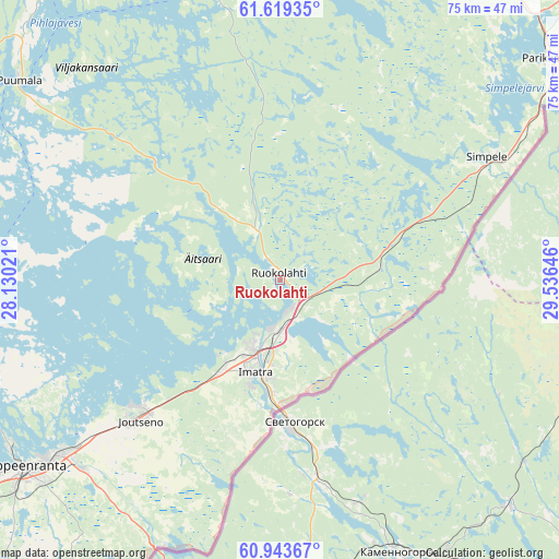
Ruokolahti GPS coordinates[2]
61° 16' 59.988" North, 28° 49' 59.988" East
| Map corner | latitude | longitude |
|---|---|---|
| Upper-left | 61.61935°, | 28.13021° |
| Center: | 61.28333°, | 28.83333° |
| Lower-right: | 60.94367°, | 29.53646° |
| Map W x H: | 75.1×75.1 km | = 46.7×46.7mi |
| max Lat: | 69.90864° ⇑61.8% North |
| Ruokolahti: | 61.28333° |
| min Lat: | ⇓38.2% South 59.83333° |
| min Long | Ruokolahti | max Long |
| 21.2° | 28.83333° | 30.93276° |
| W 93.6%⇐ | ⇒6.4% E |
Elevation
Elevation of Ruokolahti is 68 m = 223 ft, and this is 9.1 m = 30 ft below average elevation for this country.
| Max E: |
299 m = 981 ft | 57.3% |
| Avg. | 77.1 m = 253 ft | |
| Ruokolahti | 68 m = 223 ft | |
Min E: |
1 m = 3 ft | 42.7% |
See also: Finland elevation on elevation.city.
Geographical zone
Ruokolahti is located in North temperate zone (between Tropic of Cancer and the Arctic Circle). Distance of this North polar circle is 587.1 km =364.8 mi to North.| Distance of | km | miles | from Ruokolahti |
|---|---|---|---|
| North Pole | 3193 | 1984 | to North |
| Arctic Circle | 587.1 | 364.8 | to North |
| Tropic Cancer | 4208.1 | 2614.8 | to South |
| Equator | 6814.1 | 4234.1 | to South |


Nearby cities:
15 places around Ruokolahti: (largest is in red/bold)
• Imatra
13.1 km =8.1 mi,  199°
199°
• Joutseno
25.3 km =15.7 mi,  223°
223°
• Lappeenranta
42.6 km =26.5 mi,  234°
234°
• Lemi
60.3 km =37.5 mi,  245°
245°
• Nuijamaa
39 km =24.2 mi, 202°
• Parikkala
46.2 km =28.7 mi,  50°
50°
• Punkaharju
60.5 km =37.6 mi,  29°
29°
• Puumala
44.3 km =27.5 mi,  307°
307°
• Rautjärvi
32.2 km =20 mi,  58°
58°
• Saari
63.5 km =39.5 mi, 50°
• Savitaipale
61.3 km =38.1 mi,  261°
261°
• Savonlinna
65.3 km =40.6 mi,  2°
2°
• Simpele
33 km =20.5 mi, 59°
• Sulkava
61.1 km =38 mi,  336°
336°
• Taipalsaari
44.5 km =27.7 mi, 250°
Sources, notices
• [Note1] Compared only with cities in Finland existing in our database
• [Src1] Map data: © OpenStreetMap contributors (CC-BY-SA)
• [Src2] Other city data from geonames.org with taken over terms of usage.
• [Src3] Geographical zone / Annual Mean Temperature by Robert A. Rohde @ Wikipedia
