Tavers geodata
Tavers (Centre) is a populated place; located in France in Europe/Paris (GMT+2) time zone. With population of 1,287 people, there are 7091 cities with bigger population in this country. Compared to other cities in France, 55.2% of cities are located further ↓South; 61.5% of cities are located further →East and 61.5% of cities have higher elevation than Tavers. Note1
Administrative division(s):
- Level 1: Centre
- Level 2: Loiret
- Level 3: Arrondissement d’Orléans
- Level 4: Tavers


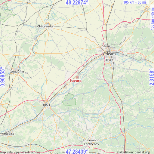
Tavers GPS coordinates[2]
47° 45' 33.156" North, 1° 36' 45.612" East
| Map corner | latitude | longitude |
|---|---|---|
| Upper-left | 48.22974°, | 0.90955° |
| Center: | 47.75921°, | 1.61267° |
| Lower-right: | 47.28439°, | 2.3158° |
| Map W x H: | 105.1×105.1 km | = 65.3×65.3mi |
| max Lat: | 51.07786° ⇑44.8% North |
| Tavers: | 47.75921° |
| min Lat: | ⇓55.2% South 41.3874° |
| min Long | Tavers | max Long |
| -5.08615° | 1.61267° | 9.52242° |
| W 38.5%⇐ | ⇒61.5% E |
Elevation
Elevation of Tavers is 98 m = 322 ft, and this is 95.7 m = 314 ft below average elevation for this country.
| Max E: |
2333 m = 7654 ft | 61.5% |
| Avg. | 193.7 m = 635 ft | |
| Tavers | 98 m = 322 ft | |
Min E: |
-1 m = -3 ft | 38.5% |
See also: France elevation on elevation.city.
Geographical zone
Tavers is located in North temperate zone (between Tropic of Cancer and the Arctic Circle). Distance of this North polar circle is 2090.8 km =1299.2 mi to North.| Distance of | km | miles | from Tavers |
|---|---|---|---|
| North Pole | 4696.7 | 2918.4 | to North |
| Arctic Circle | 2090.8 | 1299.2 | to North |
| Tropic Cancer | 2704.4 | 1680.4 | to South |
| Equator | 5310.3 | 3299.7 | to South |


Nearby cities:
15 places around Tavers: (largest is in red/bold)
• Avaray
5.4 km =3.4 mi,  221°
221°
• Baule
7.3 km =4.5 mi,  37°
37°
• Beaugency
2.6 km =1.6 mi,  24°
24°
• Cravant
8.3 km =5.2 mi,  338°
338°
• Crouy-sur-Cosson
12.1 km =7.5 mi,  180°
180°
• Dry
8.6 km =5.3 mi,  61°
61°
• Josnes
7.5 km =4.7 mi,  300°
300°
• Lailly-en-Val
5.6 km =3.5 mi,  78°
78°
• Le Bardon
10 km =6.2 mi, 17°
• Mer
9.9 km =6.2 mi,  233°
233°
• Messas
5.6 km =3.5 mi, 18°
• Meung-sur-Loire
10.1 km =6.3 mi, 37°
• Muides-sur-Loire
11.9 km =7.4 mi,  212°
212°
• Saint-Laurent-Nouan
4.8 km =3 mi,  191°
191°
• Villorceau
4.8 km =3 mi,  345°
345°
Sources, notices
• [Note1] Compared only with cities in France existing in our database
• [Src1] Map data: © OpenStreetMap contributors (CC-BY-SA)
• [Src2] Other city data from geonames.org with taken over terms of usage.
• [Src3] Geographical zone / Annual Mean Temperature by Robert A. Rohde @ Wikipedia
