Rougegoutte geodata
Rougegoutte (Bourgogne-Franche-Comté) is a populated place; located in France in Europe/Paris (GMT+2) time zone. With population of 933 people, there are 9360 cities with bigger population in this country. Compared to other cities in France, 54.8% of cities are located further ↓South; 93.9% of cities are located further ←West and 93.1% of cities have lower elevation than Rougegoutte. Note1
Administrative division(s):
- Level 1: Bourgogne-Franche-Comté
- Level 2: Territoire de Belfort
- Level 3: Arrondissement de Belfort
- Level 4: Rougegoutte


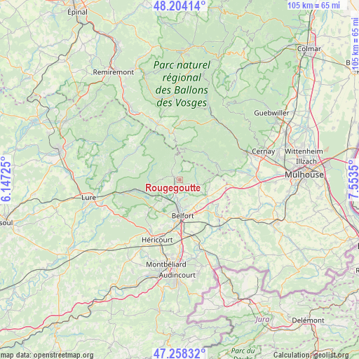
Rougegoutte GPS coordinates[2]
47° 44' 0.168" North, 6° 51' 1.332" East
| Map corner | latitude | longitude |
|---|---|---|
| Upper-left | 48.20414°, | 6.14725° |
| Center: | 47.73338°, | 6.85037° |
| Lower-right: | 47.25832°, | 7.5535° |
| Map W x H: | 105.2×105.2 km | = 65.4×65.4mi |
| max Lat: | 51.07786° ⇑45.2% North |
| Rougegoutte: | 47.73338° |
| min Lat: | ⇓54.8% South 41.3874° |
| min Long | Rougegoutte | max Long |
| -5.08615° | 6.85037° | 9.52242° |
| W 93.9%⇐ | ⇒6.1% E |
Elevation
Elevation of Rougegoutte is 507 m = 1663 ft, and this is 313.3 m = 1028 ft above average elevation for this country.
| Max E: |
2333 m = 7654 ft | 6.9% |
| Rougegoutte | 507 m 1663 ft | |
| Avg. | 193.7 m = 635 ft | |
Min E: |
-1 m = -3 ft | 93.1% |
See also: France elevation on elevation.city.
Geographical zone
Rougegoutte is located in North temperate zone (between Tropic of Cancer and the Arctic Circle). Distance of this North polar circle is 2093.7 km =1301 mi to North.| Distance of | km | miles | from Rougegoutte |
|---|---|---|---|
| North Pole | 4699.6 | 2920.2 | to North |
| Arctic Circle | 2093.7 | 1301 | to North |
| Tropic Cancer | 2701.5 | 1678.6 | to South |
| Equator | 5307.5 | 3297.9 | to South |


Nearby cities:
15 places around Rougegoutte: (largest is in red/bold)
• Anjoutey
7.1 km =4.4 mi,  120°
120°
• Chaux
2.3 km =1.4 mi,  209°
209°
• Giromagny
2 km =1.2 mi,  301°
301°
• Grosmagny
2.9 km =1.8 mi,  112°
112°
• Lachapelle-sous-Chaux
3.8 km =2.4 mi, 214°
• Lepuix
4 km =2.5 mi,  318°
318°
• Offemont
8.1 km =5 mi,  165°
165°
• Plancher-les-Mines
8.6 km =5.3 mi,  291°
291°
• Roppe
8.8 km =5.5 mi,  144°
144°
• Rougemont-le-Château
8.7 km =5.4 mi,  88°
88°
• Salbert
7.6 km =4.7 mi,  201°
201°
• Sermamagny
4.8 km =3 mi,  192°
192°
• Valdoie
7 km =4.3 mi, 185°
• Vescemont
1.3 km =0.8 mi,  337°
337°
• Éloie
5.1 km =3.2 mi,  160°
160°
Sources, notices
• [Note1] Compared only with cities in France existing in our database
• [Src1] Map data: © OpenStreetMap contributors (CC-BY-SA)
• [Src2] Other city data from geonames.org with taken over terms of usage.
• [Src3] Geographical zone / Annual Mean Temperature by Robert A. Rohde @ Wikipedia
