Remiremont geodata
Remiremont (Grand Est) is a populated place; located in France in Europe/Paris (GMT+2) time zone. With population of 9,339 people, there are 1027 cities with bigger population in this country. Compared to other cities in France, 59.5% of cities are located further ↓South; 92.3% of cities are located further ←West and 88.7% of cities have lower elevation than Remiremont. Note1
Administrative division(s):
- Level 1: Grand Est
- Level 2: Vosges
- Level 3: Arrondissement d’Épinal
- Level 4: Remiremont


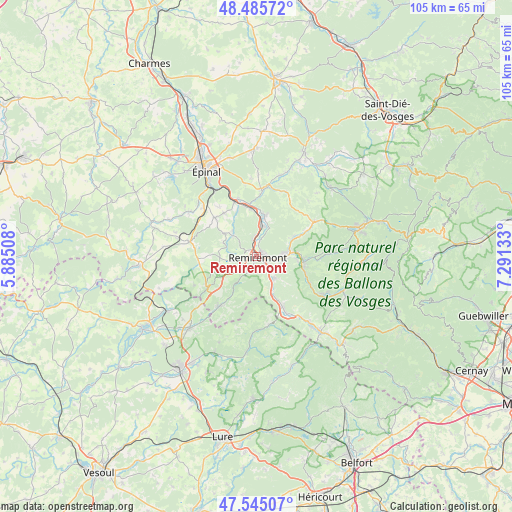
Remiremont GPS coordinates[2]
48° 1' 3.144" North, 6° 35' 17.52" East
| Map corner | latitude | longitude |
|---|---|---|
| Upper-left | 48.48572°, | 5.88508° |
| Center: | 48.01754°, | 6.5882° |
| Lower-right: | 47.54507°, | 7.29133° |
| Map W x H: | 104.6×104.6 km | = 65×65mi |
| max Lat: | 51.07786° ⇑40.5% North |
| Remiremont: | 48.01754° |
| min Lat: | ⇓59.5% South 41.3874° |
| min Long | Remiremont | max Long |
| -5.08615° | 6.5882° | 9.52242° |
| W 92.3%⇐ | ⇒7.7% E |
Elevation
Elevation of Remiremont is 402 m = 1319 ft, and this is 208.3 m = 683 ft above average elevation for this country.
| Max E: |
2333 m = 7654 ft | 11.3% |
| Remiremont | 402 m 1319 ft | |
| Avg. | 193.7 m = 635 ft | |
Min E: |
-1 m = -3 ft | 88.7% |
See also: France elevation on elevation.city.
Geographical zone
Remiremont is located in North temperate zone (between Tropic of Cancer and the Arctic Circle). Distance of this North polar circle is 2062.1 km =1281.3 mi to North.| Distance of | km | miles | from Remiremont |
|---|---|---|---|
| North Pole | 4668 | 2900.6 | to North |
| Arctic Circle | 2062.1 | 1281.3 | to North |
| Tropic Cancer | 2733.1 | 1698.3 | to South |
| Equator | 5339 | 3317.5 | to South |


Nearby cities:
15 places around Remiremont: (largest is in red/bold)
• Bellefontaine
10.8 km =6.7 mi,  267°
267°
• Dommartin-lès-Remiremont
4.4 km =2.7 mi,  117°
117°
• Hadol
11.5 km =7.1 mi,  314°
314°
• La Forge
11.4 km =7.1 mi,  62°
62°
• Le Syndicat
7.2 km =4.5 mi,  90°
90°
• Plombières-les-Bains
11.4 km =7.1 mi,  238°
238°
• Pouxeux
9.9 km =6.2 mi,  353°
353°
• Raon-aux-Bois
6.6 km =4.1 mi, 311°
• Saint-Amé
5.7 km =3.5 mi,  82°
82°
• Saint-Nabord
3.8 km =2.4 mi, 353°
• Saint-Étienne-lès-Remiremont
1.6 km =1 mi,  68°
68°
• Thiéfosse
11.9 km =7.4 mi, 116°
• Vagney
9.7 km =6 mi,  97°
97°
• Vecoux
5.7 km =3.5 mi,  140°
140°
• Éloyes
9 km =5.6 mi,  8°
8°
Sources, notices
• [Note1] Compared only with cities in France existing in our database
• [Src1] Map data: © OpenStreetMap contributors (CC-BY-SA)
• [Src2] Other city data from geonames.org with taken over terms of usage.
• [Src3] Geographical zone / Annual Mean Temperature by Robert A. Rohde @ Wikipedia
