Pouxeux geodata
Pouxeux (Grand Est) is a populated place; located in France in Europe/Paris (GMT+2) time zone. With population of 1,882 people, there are 5068 cities with bigger population in this country. Compared to other cities in France, 61.3% of cities are located further ↓South; 92.2% of cities are located further ←West and 86.7% of cities have lower elevation than Pouxeux. Note1
Administrative division(s):
- Level 1: Grand Est
- Level 2: Vosges
- Level 3: Arrondissement d’Épinal
- Level 4: Pouxeux


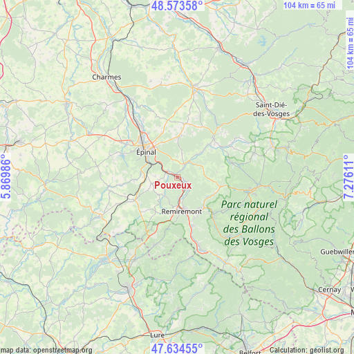
Pouxeux GPS coordinates[2]
48° 6' 22.356" North, 6° 34' 22.764" East
| Map corner | latitude | longitude |
|---|---|---|
| Upper-left | 48.57358°, | 5.86986° |
| Center: | 48.10621°, | 6.57299° |
| Lower-right: | 47.63455°, | 7.27611° |
| Map W x H: | 104.4×104.4 km | = 64.9×64.9mi |
| max Lat: | 51.07786° ⇑38.7% North |
| Pouxeux: | 48.10621° |
| min Lat: | ⇓61.3% South 41.3874° |
| min Long | Pouxeux | max Long |
| -5.08615° | 6.57299° | 9.52242° |
| W 92.2%⇐ | ⇒7.8% E |
Elevation
Elevation of Pouxeux is 370 m = 1214 ft, and this is 176.3 m = 578 ft above average elevation for this country.
| Max E: |
2333 m = 7654 ft | 13.3% |
| Pouxeux | 370 m 1214 ft | |
| Avg. | 193.7 m = 635 ft | |
Min E: |
-1 m = -3 ft | 86.7% |
See also: France elevation on elevation.city.
Geographical zone
Pouxeux is located in North temperate zone (between Tropic of Cancer and the Arctic Circle). Distance of this North polar circle is 2052.3 km =1275.2 mi to North.| Distance of | km | miles | from Pouxeux |
|---|---|---|---|
| North Pole | 4658.2 | 2894.5 | to North |
| Arctic Circle | 2052.3 | 1275.2 | to North |
| Tropic Cancer | 2743 | 1704.4 | to South |
| Equator | 5348.9 | 3323.7 | to South |


Nearby cities:
15 places around Pouxeux: (largest is in red/bold)
• Arches
3.6 km =2.2 mi,  292°
292°
• Archettes
3.3 km =2.1 mi,  305°
305°
• Cheniménil
4.3 km =2.7 mi,  31°
31°
• Deyvillers
11.3 km =7 mi,  337°
337°
• Docelles
5.2 km =3.2 mi, 34°
• Dounoux
9.5 km =5.9 mi,  268°
268°
• Hadol
7.4 km =4.6 mi,  255°
255°
• La Baffe
6.2 km =3.9 mi,  1°
1°
• Lépanges-sur-Vologne
9.7 km =6 mi,  45°
45°
• Raon-aux-Bois
6.7 km =4.2 mi,  215°
215°
• Remiremont
9.9 km =6.2 mi,  173°
173°
• Saint-Amé
11.4 km =7.1 mi,  143°
143°
• Saint-Nabord
6.1 km =3.8 mi, 173°
• Saint-Étienne-lès-Remiremont
9.6 km =6 mi,  164°
164°
• Éloyes
2.7 km =1.7 mi,  110°
110°
Sources, notices
• [Note1] Compared only with cities in France existing in our database
• [Src1] Map data: © OpenStreetMap contributors (CC-BY-SA)
• [Src2] Other city data from geonames.org with taken over terms of usage.
• [Src3] Geographical zone / Annual Mean Temperature by Robert A. Rohde @ Wikipedia
