Puceul geodata
Puceul (Pays de la Loire) is a populated place; located in France in Europe/Paris (GMT+2) time zone. With population of 682 people, there are 12047 cities with bigger population in this country. Compared to other cities in France, 51.5% of cities are located further ↓South; 93.1% of cities are located further →East and 81.1% of cities have higher elevation than Puceul. Note1
Administrative division(s):
- Level 1: Pays de la Loire
- Level 2: Loire-Atlantique
- Level 3: Arrondissement of Châteaubriant-Ancenis
- Level 4: Puceul


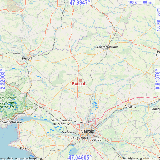
Puceul GPS coordinates[2]
47° 31' 19.272" North, 1° 37' 0.876" West
| Map corner | latitude | longitude |
|---|---|---|
| Upper-left | 47.9947°, | -2.32003° |
| Center: | 47.52202°, | -1.61691° |
| Lower-right: | 47.04505°, | -0.91378° |
| Map W x H: | 105.6×105.6 km | = 65.6×65.6mi |
| max Lat: | 51.07786° ⇑48.5% North |
| Puceul: | 47.52202° |
| min Lat: | ⇓51.5% South 41.3874° |
| min Long | Puceul | max Long |
| -5.08615° | -1.61691° | 9.52242° |
| W 6.9%⇐ | ⇒93.1% E |
Elevation
Elevation of Puceul is 52 m = 171 ft, and this is 141.7 m = 465 ft below average elevation for this country.
| Max E: |
2333 m = 7654 ft | 81.1% |
| Avg. | 193.7 m = 635 ft | |
| Puceul | 52 m = 171 ft | |
Min E: |
-1 m = -3 ft | 18.9% |
See also: France elevation on elevation.city.
Geographical zone
Puceul is located in North temperate zone (between Tropic of Cancer and the Arctic Circle). Distance of this North polar circle is 2117.2 km =1315.6 mi to North.| Distance of | km | miles | from Puceul |
|---|---|---|---|
| North Pole | 4723.1 | 2934.8 | to North |
| Arctic Circle | 2117.2 | 1315.6 | to North |
| Tropic Cancer | 2678 | 1664 | to South |
| Equator | 5284 | 3283.3 | to South |


Nearby cities:
15 places around Puceul: (largest is in red/bold)
• Abbaretz
7.3 km =4.5 mi,  61°
61°
• Blain
12.1 km =7.5 mi,  245°
245°
• Bourg de Joué-sur-Erdre
15 km =9.3 mi,  101°
101°
• Conquereuil
15.3 km =9.5 mi,  318°
318°
• Héric
12.3 km =7.6 mi,  192°
192°
• Jans
10.9 km =6.8 mi,  0°
0°
• La Chevallerais
7.2 km =4.5 mi,  214°
214°
• La Grigonnais
3.9 km =2.4 mi,  278°
278°
• Le Gâvre
9.9 km =6.2 mi,  269°
269°
• Marsac-sur-Don
9.5 km =5.9 mi,  330°
330°
• Nort-sur-Erdre
12.8 km =8 mi,  136°
136°
• Nozay
4.8 km =3 mi,  351°
351°
• Saffré
3.7 km =2.3 mi,  128°
128°
• Treffieux
12.4 km =7.7 mi,  28°
28°
• Vay
7.3 km =4.5 mi,  299°
299°
Sources, notices
• [Note1] Compared only with cities in France existing in our database
• [Src1] Map data: © OpenStreetMap contributors (CC-BY-SA)
• [Src2] Other city data from geonames.org with taken over terms of usage.
• [Src3] Geographical zone / Annual Mean Temperature by Robert A. Rohde @ Wikipedia
