Docelles geodata
Docelles (Grand Est) is a populated place; located in France in Europe/Paris (GMT+2) time zone. With population of 1,043 people, there are 8513 cities with bigger population in this country. Compared to other cities in France, 61.9% of cities are located further ↓South; 92.4% of cities are located further ←West and 87% of cities have lower elevation than Docelles. Note1
Administrative division(s):
- Level 1: Grand Est
- Level 2: Vosges
- Level 3: Arrondissement d’Épinal
- Level 4: Docelles


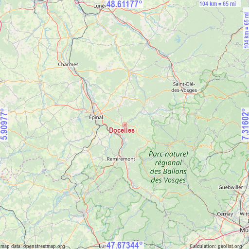
Docelles GPS coordinates[2]
48° 8' 41.1" North, 6° 36' 46.404" East
| Map corner | latitude | longitude |
|---|---|---|
| Upper-left | 48.61177°, | 5.90977° |
| Center: | 48.14475°, | 6.61289° |
| Lower-right: | 47.67344°, | 7.31602° |
| Map W x H: | 104.3×104.3 km | = 64.8×64.8mi |
| max Lat: | 51.07786° ⇑38.1% North |
| Docelles: | 48.14475° |
| min Lat: | ⇓61.9% South 41.3874° |
| min Long | Docelles | max Long |
| -5.08615° | 6.61289° | 9.52242° |
| W 92.4%⇐ | ⇒7.6% E |
Elevation
Elevation of Docelles is 374 m = 1227 ft, and this is 180.3 m = 592 ft above average elevation for this country.
| Max E: |
2333 m = 7654 ft | 13% |
| Docelles | 374 m 1227 ft | |
| Avg. | 193.7 m = 635 ft | |
Min E: |
-1 m = -3 ft | 87% |
See also: France elevation on elevation.city.
Geographical zone
Docelles is located in North temperate zone (between Tropic of Cancer and the Arctic Circle). Distance of this North polar circle is 2048 km =1272.6 mi to North.| Distance of | km | miles | from Docelles |
|---|---|---|---|
| North Pole | 4653.9 | 2891.8 | to North |
| Arctic Circle | 2048 | 1272.6 | to North |
| Tropic Cancer | 2747.3 | 1707.1 | to South |
| Equator | 5353.2 | 3326.3 | to South |


Nearby cities:
15 places around Docelles: (largest is in red/bold)
• Arches
6.9 km =4.3 mi,  245°
245°
• Archettes
6.1 km =3.8 mi, 246°
• Aydoilles
7.8 km =4.8 mi,  338°
338°
• Bruyères
10.5 km =6.5 mi,  48°
48°
• Champ-le-Duc
9.9 km =6.2 mi, 54°
• Cheniménil
1 km =0.6 mi,  226°
226°
• Deyvillers
9.5 km =5.9 mi,  310°
310°
• Grandvillers
10.9 km =6.8 mi,  16°
16°
• Jeuxey
11.2 km =7 mi,  304°
304°
• La Baffe
3.4 km =2.1 mi, 303°
• Laval-sur-Vologne
8.6 km =5.3 mi, 52°
• Lépanges-sur-Vologne
4.7 km =2.9 mi,  58°
58°
• Pouxeux
5.2 km =3.2 mi,  214°
214°
• Saint-Nabord
10.6 km =6.6 mi,  192°
192°
• Éloyes
5.2 km =3.2 mi, 185°
Sources, notices
• [Note1] Compared only with cities in France existing in our database
• [Src1] Map data: © OpenStreetMap contributors (CC-BY-SA)
• [Src2] Other city data from geonames.org with taken over terms of usage.
• [Src3] Geographical zone / Annual Mean Temperature by Robert A. Rohde @ Wikipedia
