Ottmarsheim geodata
Ottmarsheim (Grand Est) is a populated place; located in France in Europe/Paris (GMT+2) time zone. With population of 2,018 people, there are 4755 cities with bigger population in this country. Compared to other cities in France, 55.6% of cities are located further ↓South; 98% of cities are located further ←West and 71.4% of cities have lower elevation than Ottmarsheim. Note1
Administrative division(s):
- Level 1: Grand Est
- Level 2: Haut-Rhin
- Level 3: Arrondissement de Mulhouse
- Level 4: Ottmarsheim


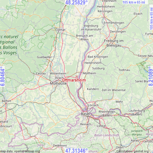
Ottmarsheim GPS coordinates[2]
47° 47' 16.872" North, 7° 30' 27.972" East
| Map corner | latitude | longitude |
|---|---|---|
| Upper-left | 48.25829°, | 6.80464° |
| Center: | 47.78802°, | 7.50777° |
| Lower-right: | 47.31346°, | 8.21089° |
| Map W x H: | 105.1×105.1 km | = 65.3×65.3mi |
| max Lat: | 51.07786° ⇑44.4% North |
| Ottmarsheim: | 47.78802° |
| min Lat: | ⇓55.6% South 41.3874° |
| min Long | Ottmarsheim | max Long |
| -5.08615° | 7.50777° | 9.52242° |
| W 98%⇐ | ⇒2% E |
Elevation
Elevation of Ottmarsheim is 226 m = 741 ft, and this is 32.3 m = 106 ft above average elevation for this country.
| Max E: |
2333 m = 7654 ft | 28.6% |
| Ottmarsheim | 226 m 741 ft | |
| Avg. | 193.7 m = 635 ft | |
Min E: |
-1 m = -3 ft | 71.4% |
See also: France elevation on elevation.city.
Geographical zone
Ottmarsheim is located in North temperate zone (between Tropic of Cancer and the Arctic Circle). Distance of this North polar circle is 2087.6 km =1297.2 mi to North.| Distance of | km | miles | from Ottmarsheim |
|---|---|---|---|
| North Pole | 4693.5 | 2916.4 | to North |
| Arctic Circle | 2087.6 | 1297.2 | to North |
| Tropic Cancer | 2707.6 | 1682.4 | to South |
| Equator | 5313.5 | 3301.7 | to South |


Nearby cities:
15 places around Ottmarsheim: (largest is in red/bold)
• Baldersheim
9.6 km =6 mi,  278°
278°
• Bantzenheim
4.1 km =2.5 mi,  7°
7°
• Battenheim
10.1 km =6.3 mi,  290°
290°
• Blodelsheim
11 km =6.8 mi, 11°
• Chalampé
4.4 km =2.7 mi,  34°
34°
• Habsheim
9.3 km =5.8 mi,  226°
226°
• Hombourg
3.2 km =2 mi,  181°
181°
• Kembs
11 km =6.8 mi, 181°
• Munchhouse
9.9 km =6.2 mi,  335°
335°
• Niffer
8.3 km =5.2 mi, 179°
• Petit-Landau
6.4 km =4 mi,  172°
172°
• Riedisheim
11.4 km =7.1 mi,  247°
247°
• Rixheim
9 km =5.6 mi,  241°
241°
• Rumersheim-le-Haut
7.1 km =4.4 mi, 7°
• Sausheim
10.1 km =6.3 mi,  269°
269°
Sources, notices
• [Note1] Compared only with cities in France existing in our database
• [Src1] Map data: © OpenStreetMap contributors (CC-BY-SA)
• [Src2] Other city data from geonames.org with taken over terms of usage.
• [Src3] Geographical zone / Annual Mean Temperature by Robert A. Rohde @ Wikipedia
