Néré geodata
Néré (Nouvelle-Aquitaine) is a populated place; located in France in Europe/Paris (GMT+2) time zone. With population of 803 people, there are 10571 cities with bigger population in this country. Compared to other cities in France, 66.5% of cities are located further ↑North; 80.1% of cities are located further →East and 66.6% of cities have higher elevation than Néré. Note1
Administrative division(s):
- Level 1: Nouvelle-Aquitaine
- Level 2: Charente-Maritime
- Level 3: Arrondissement de Saint-Jean-d'Angély
- Level 4: Néré


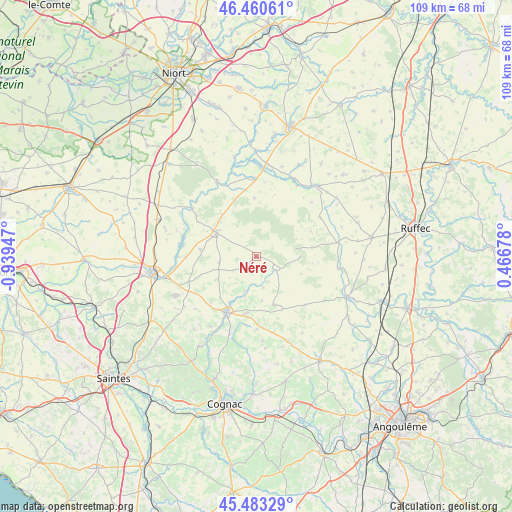
Néré GPS coordinates[2]
45° 58' 26.796" North, 0° 14' 10.824" West
| Map corner | latitude | longitude |
|---|---|---|
| Upper-left | 46.46061°, | -0.93947° |
| Center: | 45.97411°, | -0.23634° |
| Lower-right: | 45.48329°, | 0.46678° |
| Map W x H: | 108.7×108.7 km | = 67.5×67.5mi |
| max Lat: | 51.07786° ⇑66.5% North |
| Néré: | 45.97411° |
| min Lat: | ⇓33.5% South 41.3874° |
| min Long | Néré | max Long |
| -5.08615° | -0.23634° | 9.52242° |
| W 19.9%⇐ | ⇒80.1% E |
Elevation
Elevation of Néré is 86 m = 282 ft, and this is 107.7 m = 353 ft below average elevation for this country.
| Max E: |
2333 m = 7654 ft | 66.6% |
| Avg. | 193.7 m = 635 ft | |
| Néré | 86 m = 282 ft | |
Min E: |
-1 m = -3 ft | 33.4% |
See also: France elevation on elevation.city.
Geographical zone
Néré is located in North temperate zone (between Tropic of Cancer and the Arctic Circle). Distance of this North polar circle is 2289.3 km =1422.5 mi to North.| Distance of | km | miles | from Néré |
|---|---|---|---|
| North Pole | 4895.2 | 3041.7 | to North |
| Arctic Circle | 2289.3 | 1422.5 | to North |
| Tropic Cancer | 2505.9 | 1557.1 | to South |
| Equator | 5111.8 | 3176.3 | to South |


Nearby cities:
15 places around Néré: (largest is in red/bold)
• Aigre
21 km =13 mi,  115°
115°
• Aulnay
10.1 km =6.3 mi,  301°
301°
• Aumagne
17 km =10.6 mi,  229°
229°
• Beauvais-sur-Matha
10.9 km =6.8 mi,  160°
160°
• Brioux-sur-Boutonne
18.7 km =11.6 mi,  3°
3°
• Bréville
19.9 km =12.4 mi,  185°
185°
• Chef-Boutonne
19.8 km =12.3 mi,  40°
40°
• Chizé
17.9 km =11.1 mi,  331°
331°
• Fontenille-Saint-Martin-d'Entraigues
17.7 km =11 mi,  26°
26°
• La Brousse
13.4 km =8.3 mi, 226°
• Les Touches-de-Périgny
7.8 km =4.8 mi,  198°
198°
• Matha
13.4 km =8.3 mi,  208°
208°
• Saint-Jean-d’Angély
22.3 km =13.9 mi,  261°
261°
• Sonnac
15.3 km =9.5 mi, 190°
• Varaize
15.6 km =9.7 mi,  248°
248°
Sources, notices
• [Note1] Compared only with cities in France existing in our database
• [Src1] Map data: © OpenStreetMap contributors (CC-BY-SA)
• [Src2] Other city data from geonames.org with taken over terms of usage.
• [Src3] Geographical zone / Annual Mean Temperature by Robert A. Rohde @ Wikipedia
