Meyssac geodata
Meyssac (Nouvelle-Aquitaine) is a populated place; located in France in Europe/Paris (GMT+2) time zone. With population of 1,194 people, there are 7571 cities with bigger population in this country. Compared to other cities in France, 79% of cities are located further ↑North; 60.7% of cities are located further →East and 67.6% of cities have lower elevation than Meyssac. Note1
Administrative division(s):
- Level 1: Nouvelle-Aquitaine
- Level 2: Département de la Corrèze
- Level 3: Arrondissement de Brive-la-Gaillarde
- Level 4: Meyssac


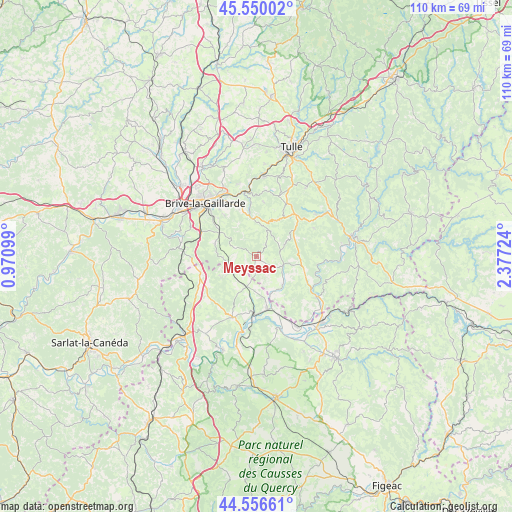
Meyssac GPS coordinates[2]
45° 3' 19.692" North, 1° 40' 26.832" East
| Map corner | latitude | longitude |
|---|---|---|
| Upper-left | 45.55002°, | 0.97099° |
| Center: | 45.05547°, | 1.67412° |
| Lower-right: | 44.55661°, | 2.37724° |
| Map W x H: | 110.5×110.5 km | = 68.7×68.7mi |
| max Lat: | 51.07786° ⇑79% North |
| Meyssac: | 45.05547° |
| min Lat: | ⇓21% South 41.3874° |
| min Long | Meyssac | max Long |
| -5.08615° | 1.67412° | 9.52242° |
| W 39.3%⇐ | ⇒60.7% E |
Elevation
Elevation of Meyssac is 207 m = 679 ft, and this is 13.3 m = 44 ft above average elevation for this country.
| Max E: |
2333 m = 7654 ft | 32.4% |
| Meyssac | 207 m 679 ft | |
| Avg. | 193.7 m = 635 ft | |
Min E: |
-1 m = -3 ft | 67.6% |
See also: France elevation on elevation.city.
Geographical zone
Meyssac is located in North temperate zone (between Tropic of Cancer and the Arctic Circle). Distance of this North polar circle is 2391.5 km =1486 mi to North.| Distance of | km | miles | from Meyssac |
|---|---|---|---|
| North Pole | 4997.4 | 3105.2 | to North |
| Arctic Circle | 2391.5 | 1486 | to North |
| Tropic Cancer | 2403.8 | 1493.7 | to South |
| Equator | 5009.7 | 3112.9 | to South |


Nearby cities:
15 places around Meyssac: (largest is in red/bold)
• Aubazine
13.3 km =8.3 mi,  359°
359°
• Beaulieu-sur-Dordogne
15.5 km =9.6 mi,  123°
123°
• Beynat
8.6 km =5.3 mi,  26°
26°
• Bétaille
13.2 km =8.2 mi,  159°
159°
• Cosnac
11.2 km =7 mi,  321°
321°
• Cressensac
12.6 km =7.8 mi,  253°
253°
• Dampniat
13 km =8.1 mi,  345°
345°
• Jugeals-Nazareth
9.5 km =5.9 mi,  287°
287°
• Les Quatre-Routes-du-Lot
6.5 km =4 mi,  197°
197°
• Martel
14.2 km =8.8 mi, 201°
• Nespouls
13.5 km =8.4 mi,  267°
267°
• Noailles
13 km =8.1 mi, 293°
• Sarrazac
7.9 km =4.9 mi,  237°
237°
• Turenne
7.2 km =4.5 mi, 268°
• Vayrac
11.6 km =7.2 mi,  168°
168°
Sources, notices
• [Note1] Compared only with cities in France existing in our database
• [Src1] Map data: © OpenStreetMap contributors (CC-BY-SA)
• [Src2] Other city data from geonames.org with taken over terms of usage.
• [Src3] Geographical zone / Annual Mean Temperature by Robert A. Rohde @ Wikipedia
