Florange geodata
Florange (Grand Est) is a populated place; located in France in Europe/Paris (GMT+2) time zone. With population of 10,758 people, there are 890 cities with bigger population in this country. Compared to other cities in France, 86.5% of cities are located further ↓South; 88.4% of cities are located further ←West and 60.3% of cities have lower elevation than Florange. Note1
Administrative division(s):
- Level 1: Grand Est
- Level 2: Moselle
- Level 3: Arrondissement de Thionville
- Level 4: Florange


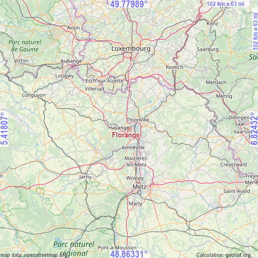
Florange GPS coordinates[2]
49° 19' 25.428" North, 6° 7' 16.32" East
| Map corner | latitude | longitude |
|---|---|---|
| Upper-left | 49.77989°, | 5.41807° |
| Center: | 49.32373°, | 6.1212° |
| Lower-right: | 48.86331°, | 6.82432° |
| Map W x H: | 101.9×101.9 km | = 63.3×63.3mi |
| max Lat: | 51.07786° ⇑13.5% North |
| Florange: | 49.32373° |
| min Lat: | ⇓86.5% South 41.3874° |
| min Long | Florange | max Long |
| -5.08615° | 6.1212° | 9.52242° |
| W 88.4%⇐ | ⇒11.6% E |
Elevation
Elevation of Florange is 171 m = 561 ft, and this is 22.7 m = 74 ft below average elevation for this country.
| Max E: |
2333 m = 7654 ft | 39.7% |
| Avg. | 193.7 m = 635 ft | |
| Florange | 171 m = 561 ft | |
Min E: |
-1 m = -3 ft | 60.3% |
See also: France elevation on elevation.city.
Geographical zone
Florange is located in North temperate zone (between Tropic of Cancer and the Arctic Circle). Distance of this North polar circle is 1916.9 km =1191.1 mi to North.| Distance of | km | miles | from Florange |
|---|---|---|---|
| North Pole | 4522.8 | 2810.3 | to North |
| Arctic Circle | 1916.9 | 1191.1 | to North |
| Tropic Cancer | 2878.4 | 1788.6 | to South |
| Equator | 5484.3 | 3407.8 | to South |


Nearby cities:
15 places around Florange: (largest is in red/bold)
• Bertrange
5.3 km =3.3 mi,  102°
102°
• Fameck
2.9 km =1.8 mi,  197°
197°
• Gandrange
5.8 km =3.6 mi,  177°
177°
• Hayange
4.3 km =2.7 mi,  277°
277°
• Illange
4.2 km =2.6 mi,  86°
86°
• Knutange
6.2 km =3.9 mi,  285°
285°
• Nilvange
5.6 km =3.5 mi, 291°
• Ranguevaux
5.6 km =3.5 mi,  239°
239°
• Richemont
6 km =3.7 mi,  149°
149°
• Serémange-Erzange
2.2 km =1.4 mi,  261°
261°
• Terville
2.7 km =1.7 mi,  19°
19°
• Thionville
4.9 km =3 mi,  35°
35°
• Uckange
3.1 km =1.9 mi,  138°
138°
• Vitry-sur-Orne
6.5 km =4 mi,  186°
186°
• Yutz
6.3 km =3.9 mi,  55°
55°
Sources, notices
• [Note1] Compared only with cities in France existing in our database
• [Src1] Map data: © OpenStreetMap contributors (CC-BY-SA)
• [Src2] Other city data from geonames.org with taken over terms of usage.
• [Src3] Geographical zone / Annual Mean Temperature by Robert A. Rohde @ Wikipedia
