Essars geodata
Essars (Hauts-de-France) is a populated place; located in France in Europe/Paris (GMT+2) time zone. With population of 1,672 people, there are 5601 cities with bigger population in this country. Compared to other cities in France, 97.7% of cities are located further ↓South; 53% of cities are located further ←West and 94.7% of cities have higher elevation than Essars. Note1
Administrative division(s):
- Level 1: Hauts-de-France
- Level 2: Pas-de-Calais
- Level 3: Arrondissement de Béthune
- Level 4: Essars


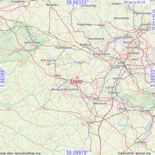
Essars GPS coordinates[2]
50° 32' 55.248" North, 2° 39' 58.32" East
| Map corner | latitude | longitude |
|---|---|---|
| Upper-left | 50.99335°, | 1.96308° |
| Center: | 50.54868°, | 2.6662° |
| Lower-right: | 50.09978°, | 3.36933° |
| Map W x H: | 99.4×99.4 km | = 61.8×61.8mi |
| max Lat: | 51.07786° ⇑2.3% North |
| Essars: | 50.54868° |
| min Lat: | ⇓97.7% South 41.3874° |
| min Long | Essars | max Long |
| -5.08615° | 2.6662° | 9.52242° |
| W 53%⇐ | ⇒47% E |
Elevation
Elevation of Essars is 18 m = 59 ft, and this is 175.7 m = 576 ft below average elevation for this country.
| Max E: |
2333 m = 7654 ft | 94.7% |
| Avg. | 193.7 m = 635 ft | |
| Essars | 18 m = 59 ft | |
Min E: |
-1 m = -3 ft | 5.3% |
See also: France elevation on elevation.city.
Geographical zone
Essars is located in North temperate zone (between Tropic of Cancer and the Arctic Circle). Distance of this North polar circle is 1780.7 km =1106.5 mi to North.| Distance of | km | miles | from Essars |
|---|---|---|---|
| North Pole | 4386.6 | 2725.7 | to North |
| Arctic Circle | 1780.7 | 1106.5 | to North |
| Tropic Cancer | 3014.6 | 1873.2 | to South |
| Equator | 5620.5 | 3492.4 | to South |


Nearby cities:
15 places around Essars: (largest is in red/bold)
• Annezin
3.9 km =2.4 mi,  241°
241°
• Beuvry
3.8 km =2.4 mi,  159°
159°
• Béthune
2.8 km =1.7 mi,  221°
221°
• Festubert
5 km =3.1 mi,  97°
97°
• Fouquereuil
5.7 km =3.5 mi,  234°
234°
• Fouquières-lès-Béthune
5.4 km =3.4 mi, 226°
• Hinges
3.7 km =2.3 mi,  302°
302°
• La Couture
4.7 km =2.9 mi,  37°
37°
• Labourse
5.6 km =3.5 mi,  169°
169°
• Locon
2.4 km =1.5 mi,  0°
0°
• Richebourg
6.1 km =3.8 mi,  50°
50°
• Sailly-Labourse
5.7 km =3.5 mi, 157°
• Vendin-lès-Béthune
4.7 km =2.9 mi,  258°
258°
• Verquin
5.5 km =3.4 mi,  200°
200°
• Vieille-Chapelle
5.3 km =3.3 mi,  27°
27°
Sources, notices
• [Note1] Compared only with cities in France existing in our database
• [Src1] Map data: © OpenStreetMap contributors (CC-BY-SA)
• [Src2] Other city data from geonames.org with taken over terms of usage.
• [Src3] Geographical zone / Annual Mean Temperature by Robert A. Rohde @ Wikipedia
