Dauendorf geodata
Dauendorf (Grand Est) is a populated place; located in France in Europe/Paris (GMT+2) time zone. With population of 1,504 people, there are 6177 cities with bigger population in this country. Compared to other cities in France, 76.2% of cities are located further ↓South; 98.8% of cities are located further ←West and 72.2% of cities have lower elevation than Dauendorf. Note1
Administrative division(s):
- Level 1: Grand Est
- Level 2: Bas-Rhin
- Level 3: Arrondissement de Haguenau-Wissembourg
- Level 4: Dauendorf


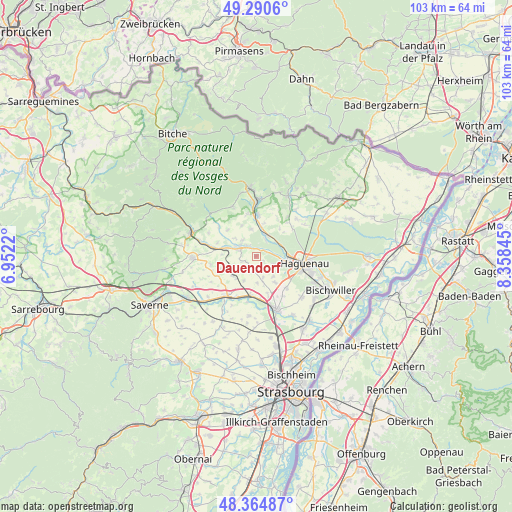
Dauendorf GPS coordinates[2]
48° 49' 47.532" North, 7° 39' 19.152" East
| Map corner | latitude | longitude |
|---|---|---|
| Upper-left | 49.2906°, | 6.9522° |
| Center: | 48.82987°, | 7.65532° |
| Lower-right: | 48.36487°, | 8.35845° |
| Map W x H: | 102.9×102.9 km | = 63.9×63.9mi |
| max Lat: | 51.07786° ⇑23.8% North |
| Dauendorf: | 48.82987° |
| min Lat: | ⇓76.2% South 41.3874° |
| min Long | Dauendorf | max Long |
| -5.08615° | 7.65532° | 9.52242° |
| W 98.8%⇐ | ⇒1.2% E |
Elevation
Elevation of Dauendorf is 231 m = 758 ft, and this is 37.3 m = 122 ft above average elevation for this country.
| Max E: |
2333 m = 7654 ft | 27.8% |
| Dauendorf | 231 m 758 ft | |
| Avg. | 193.7 m = 635 ft | |
Min E: |
-1 m = -3 ft | 72.2% |
See also: France elevation on elevation.city.
Geographical zone
Dauendorf is located in North temperate zone (between Tropic of Cancer and the Arctic Circle). Distance of this North polar circle is 1971.8 km =1225.2 mi to North.| Distance of | km | miles | from Dauendorf |
|---|---|---|---|
| North Pole | 4577.7 | 2844.5 | to North |
| Arctic Circle | 1971.8 | 1225.2 | to North |
| Tropic Cancer | 2823.5 | 1754.4 | to South |
| Equator | 5429.4 | 3373.7 | to South |


Nearby cities:
15 places around Dauendorf: (largest is in red/bold)
• Alteckendorf
6 km =3.7 mi,  225°
225°
• Batzendorf
6.4 km =4 mi,  144°
144°
• Ettendorf
5.7 km =3.5 mi,  250°
250°
• Kindwiller
5.6 km =3.5 mi,  310°
310°
• Mertzwiller
4.4 km =2.7 mi,  25°
25°
• Mietesheim
5.5 km =3.4 mi,  349°
349°
• Minversheim
5.5 km =3.4 mi,  206°
206°
• Niedermodern
2.7 km =1.7 mi, 309°
• Ohlungen
3.9 km =2.4 mi,  117°
117°
• Pfaffenhoffen
3.8 km =2.4 mi,  291°
291°
• Schweighouse-sur-Moder
5.4 km =3.4 mi,  101°
101°
• Uberach
2.9 km =1.8 mi,  319°
319°
• Uhlwiller
1.7 km =1.1 mi,  126°
126°
• Wintershouse
5.3 km =3.3 mi, 141°
• Wittersheim
5.4 km =3.4 mi,  177°
177°
Sources, notices
• [Note1] Compared only with cities in France existing in our database
• [Src1] Map data: © OpenStreetMap contributors (CC-BY-SA)
• [Src2] Other city data from geonames.org with taken over terms of usage.
• [Src3] Geographical zone / Annual Mean Temperature by Robert A. Rohde @ Wikipedia
