Chamalières geodata
Chamalières (Auvergne-Rhône-Alpes) is a populated place; located in France in Europe/Paris (GMT+2) time zone. With population of 20,298 people, there are 448 cities with bigger population in this country. Compared to other cities in France, 69.7% of cities are located further ↑North; 58.8% of cities are located further ←West and 87.5% of cities have lower elevation than Chamalières. Note1
Administrative division(s):
- Level 1: Auvergne-Rhône-Alpes
- Level 2: Département du Puy-de-Dôme
- Level 3: Arrondissement de Clermont-Ferrand
- Level 4: Chamalières


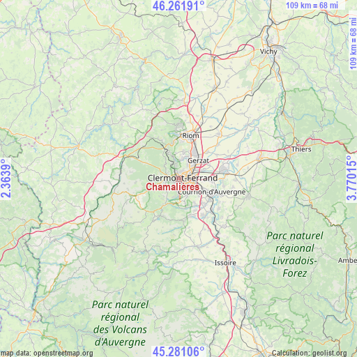
Chamalières GPS coordinates[2]
45° 46' 25.104" North, 3° 4' 1.308" East
| Map corner | latitude | longitude |
|---|---|---|
| Upper-left | 46.26191°, | 2.3639° |
| Center: | 45.77364°, | 3.06703° |
| Lower-right: | 45.28106°, | 3.77015° |
| Map W x H: | 109.1×109.1 km | = 67.8×67.8mi |
| max Lat: | 51.07786° ⇑69.7% North |
| Chamalières: | 45.77364° |
| min Lat: | ⇓30.3% South 41.3874° |
| min Long | Chamalières | max Long |
| -5.08615° | 3.06703° | 9.52242° |
| W 58.8%⇐ | ⇒41.2% E |
Elevation
Elevation of Chamalières is 381 m = 1250 ft, and this is 187.3 m = 615 ft above average elevation for this country.
| Max E: |
2333 m = 7654 ft | 12.5% |
| Chamalières | 381 m 1250 ft | |
| Avg. | 193.7 m = 635 ft | |
Min E: |
-1 m = -3 ft | 87.5% |
See also: France elevation on elevation.city.
Geographical zone
Chamalières is located in North temperate zone (between Tropic of Cancer and the Arctic Circle). Distance of this North polar circle is 2311.6 km =1436.4 mi to North.| Distance of | km | miles | from Chamalières |
|---|---|---|---|
| North Pole | 4917.5 | 3055.6 | to North |
| Arctic Circle | 2311.6 | 1436.4 | to North |
| Tropic Cancer | 2483.6 | 1543.2 | to South |
| Equator | 5089.6 | 3162.5 | to South |


Nearby cities:
15 places around Chamalières: (largest is in red/bold)
• Aubière
4.2 km =2.6 mi,  126°
126°
• Beaumont
2.7 km =1.7 mi,  153°
153°
• Blanzat
6.3 km =3.9 mi,  7°
7°
• Ceyrat
4.6 km =2.9 mi,  183°
183°
• Chanat-la-Mouteyre
7.5 km =4.7 mi,  327°
327°
• Clermont-Ferrand
1.7 km =1.1 mi,  66°
66°
• Cébazat
6.9 km =4.3 mi,  21°
21°
• Durtol
2.8 km =1.7 mi, 334°
• Nohanent
3.9 km =2.4 mi,  346°
346°
• Orcines
4.4 km =2.7 mi,  283°
283°
• Pérignat-lès-Sarliève
7 km =4.3 mi, 126°
• Romagnat
5.6 km =3.5 mi, 152°
• Royat
1.6 km =1 mi,  233°
233°
• Saint-Genès-Champanelle
7 km =4.3 mi,  212°
212°
• Sayat
6 km =3.7 mi, 349°
Sources, notices
• [Note1] Compared only with cities in France existing in our database
• [Src1] Map data: © OpenStreetMap contributors (CC-BY-SA)
• [Src2] Other city data from geonames.org with taken over terms of usage.
• [Src3] Geographical zone / Annual Mean Temperature by Robert A. Rohde @ Wikipedia
