Bélâbre geodata
Bélâbre (Centre) is a populated place; located in France in Europe/Paris (GMT+2) time zone. With population of 1,042 people, there are 8523 cities with bigger population in this country. Compared to other cities in France, 59.7% of cities are located further ↑North; 67.3% of cities are located further →East and 58.7% of cities have higher elevation than Bélâbre. Note1
Administrative division(s):
- Level 1: Centre
- Level 2: Département de l'Indre
- Level 3: Le Blanc
- Level 4: Bélâbre


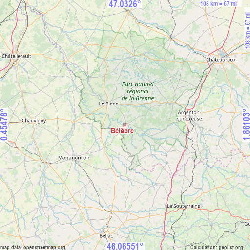
Bélâbre GPS coordinates[2]
46° 33' 4.356" North, 1° 9' 28.476" East
| Map corner | latitude | longitude |
|---|---|---|
| Upper-left | 47.0326°, | 0.45478° |
| Center: | 46.55121°, | 1.15791° |
| Lower-right: | 46.06551°, | 1.86103° |
| Map W x H: | 107.5×107.5 km | = 66.8×66.8mi |
| max Lat: | 51.07786° ⇑59.7% North |
| Bélâbre: | 46.55121° |
| min Lat: | ⇓40.3% South 41.3874° |
| min Long | Bélâbre | max Long |
| -5.08615° | 1.15791° | 9.52242° |
| W 32.7%⇐ | ⇒67.3% E |
Elevation
Elevation of Bélâbre is 106 m = 348 ft, and this is 87.7 m = 288 ft below average elevation for this country.
| Max E: |
2333 m = 7654 ft | 58.7% |
| Avg. | 193.7 m = 635 ft | |
| Bélâbre | 106 m = 348 ft | |
Min E: |
-1 m = -3 ft | 41.3% |
See also: France elevation on elevation.city.
Geographical zone
Bélâbre is located in North temperate zone (between Tropic of Cancer and the Arctic Circle). Distance of this North polar circle is 2225.2 km =1382.7 mi to North.| Distance of | km | miles | from Bélâbre |
|---|---|---|---|
| North Pole | 4831.1 | 3001.9 | to North |
| Arctic Circle | 2225.2 | 1382.7 | to North |
| Tropic Cancer | 2570.1 | 1597 | to South |
| Equator | 5176 | 3216.2 | to South |


Nearby cities:
15 places around Bélâbre: (largest is in red/bold)
• Brigueil-le-Chantre
18.1 km =11.2 mi,  197°
197°
• Béthines
13.9 km =8.6 mi,  268°
268°
• Chaillac
16.9 km =10.5 mi,  140°
140°
• Ciron
10.8 km =6.7 mi,  38°
38°
• Concremiers
11.9 km =7.4 mi,  295°
295°
• La Trimouille
12.9 km =8 mi,  224°
224°
• Le Blanc
11.7 km =7.3 mi,  321°
321°
• Lignac
10.6 km =6.6 mi,  154°
154°
• Mérigny
19.7 km =12.2 mi, 296°
• Pouligny-Saint-Pierre
17.1 km =10.6 mi,  327°
327°
• Prissac
12.4 km =7.7 mi,  111°
111°
• Rivarennes
19.8 km =12.3 mi,  61°
61°
• Rosnay
17.2 km =10.7 mi,  14°
14°
• Ruffec
8.8 km =5.5 mi, 6°
• Saint-Gaultier
21.6 km =13.4 mi, 64°
Sources, notices
• [Note1] Compared only with cities in France existing in our database
• [Src1] Map data: © OpenStreetMap contributors (CC-BY-SA)
• [Src2] Other city data from geonames.org with taken over terms of usage.
• [Src3] Geographical zone / Annual Mean Temperature by Robert A. Rohde @ Wikipedia
