Bayel geodata
Bayel (Grand Est) is a populated place; located in France in Europe/Paris (GMT+2) time zone. With population of 873 people, there are 9873 cities with bigger population in this country. Compared to other cities in France, 62.8% of cities are located further ↓South; 74.8% of cities are located further ←West and 64.6% of cities have lower elevation than Bayel. Note1
Administrative division(s):
- Level 1: Grand Est
- Level 2: Département de l'Aube
- Level 3: Arrondissement de Bar-sur-Aube
- Level 4: Bayel


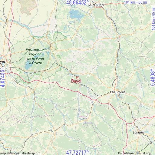
Bayel GPS coordinates[2]
48° 11' 52.764" North, 4° 46' 39.612" East
| Map corner | latitude | longitude |
|---|---|---|
| Upper-left | 48.66452°, | 4.07455° |
| Center: | 48.19799°, | 4.77767° |
| Lower-right: | 47.72717°, | 5.4808° |
| Map W x H: | 104.2×104.2 km | = 64.7×64.7mi |
| max Lat: | 51.07786° ⇑37.2% North |
| Bayel: | 48.19799° |
| min Lat: | ⇓62.8% South 41.3874° |
| min Long | Bayel | max Long |
| -5.08615° | 4.77767° | 9.52242° |
| W 74.8%⇐ | ⇒25.2% E |
Elevation
Elevation of Bayel is 192 m = 630 ft, and this is 1.7 m = 6 ft below average elevation for this country.
| Max E: |
2333 m = 7654 ft | 35.4% |
| Avg. | 193.7 m = 635 ft | |
| Bayel | 192 m = 630 ft | |
Min E: |
-1 m = -3 ft | 64.6% |
See also: France elevation on elevation.city.
Geographical zone
Bayel is located in North temperate zone (between Tropic of Cancer and the Arctic Circle). Distance of this North polar circle is 2042.1 km =1268.9 mi to North.| Distance of | km | miles | from Bayel |
|---|---|---|---|
| North Pole | 4647.9 | 2888.1 | to North |
| Arctic Circle | 2042.1 | 1268.9 | to North |
| Tropic Cancer | 2753.2 | 1710.8 | to South |
| Equator | 5359.1 | 3330 | to South |


Nearby cities:
15 places around Bayel: (largest is in red/bold)
• Bar-sur-Aube
6.6 km =4.1 mi,  306°
306°
• Bologne
27 km =16.8 mi,  89°
89°
• Chaumont
28.6 km =17.8 mi,  109°
109°
• Châteauvillain
20.8 km =12.9 mi,  149°
149°
• Colombey-les-Deux-Églises
8.1 km =5 mi,  75°
75°
• Dienville
24.8 km =15.4 mi, 313°
• Essoyes
23.9 km =14.9 mi,  228°
228°
• Jonchery
23.9 km =14.9 mi, 106°
• Landreville
26.5 km =16.5 mi,  238°
238°
• Lavilleneuve-au-Roi
11.8 km =7.3 mi, 111°
• Montsaon
22.9 km =14.2 mi,  123°
123°
• Sommevoire
24.2 km =15 mi,  11°
11°
• Vendeuvre-sur-Barse
23.3 km =14.5 mi,  280°
280°
• Ville-sous-la-Ferté
8.7 km =5.4 mi,  174°
174°
• Villiers-le-Sec
23.5 km =14.6 mi, 116°
Sources, notices
• [Note1] Compared only with cities in France existing in our database
• [Src1] Map data: © OpenStreetMap contributors (CC-BY-SA)
• [Src2] Other city data from geonames.org with taken over terms of usage.
• [Src3] Geographical zone / Annual Mean Temperature by Robert A. Rohde @ Wikipedia
