Vília geodata
Vília (Attica) is a populated place; located in Greece in Europe/Athens (GMT+3) time zone. With population of 1,269 people, there are 796 cities with bigger population in this country. Compared to other cities in Greece, 68.6% of cities are located further ↑North; 61.1% of cities are located further ←West and 90.3% of cities have lower elevation than Vília. Note1
Administrative division(s):
- Level 1: Attica
- Level 2: Nomarchía Dytikís Attikís
- Level 3: Dimos Mandra-Eidyllia


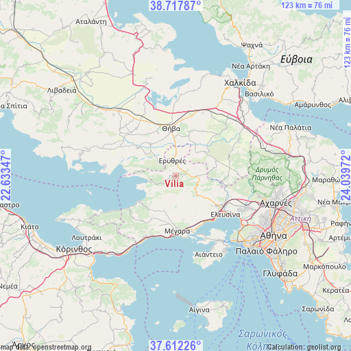
Vília GPS coordinates[2]
38° 10' 1.776" North, 23° 20' 11.724" East
| Map corner | latitude | longitude |
|---|---|---|
| Upper-left | 38.71787°, | 22.63347° |
| Center: | 38.16716°, | 23.33659° |
| Lower-right: | 37.61226°, | 24.03972° |
| Map W x H: | 122.9×122.9 km | = 76.4×76.4mi |
| max Lat: | 41.72048° ⇑68.6% North |
| Vília: | 38.16716° |
| min Lat: | ⇓31.4% South 34.8346° |
| min Long | Vília | max Long |
| 19.40494° | 23.33659° | 29.59361° |
| W 61.1%⇐ | ⇒38.9% E |
Elevation
Elevation of Vília is 508 m = 1667 ft, and this is 339.1 m = 1113 ft above average elevation for this country.
| Max E: |
1439 m = 4721 ft | 9.7% |
| Vília | 508 m 1667 ft | |
| Avg. | 168.9 m = 554 ft | |
Min E: |
0 m = 0 ft | 90.3% |
See also: Greece elevation on elevation.city.
Geographical zone
Vília is located in North temperate zone (between Tropic of Cancer and the Arctic Circle). Distance of this Northern Tropic circle is 1637.9 km =1017.7 mi to South.| Distance of | km | miles | from Vília |
|---|---|---|---|
| North Pole | 5763.3 | 3581.1 | to North |
| Arctic Circle | 3157.4 | 1961.9 | to North |
| Tropic Cancer | 1637.9 | 1017.7 | to South |
| Equator | 4243.8 | 2637 | to South |


Nearby cities:
15 places around Vília: (largest is in red/bold)
• Asopía
20.6 km =12.8 mi,  44°
44°
• Erythrés
5.7 km =3.5 mi,  347°
347°
• Kallithea - Moustafádhes
18.4 km =11.4 mi,  29°
29°
• Kaparéllion
13.2 km =8.2 mi,  305°
305°
• Lákka Kalogírou
19.7 km =12.2 mi,  167°
167°
• Magoúla
18.8 km =11.7 mi,  121°
121°
• Mándra
18.1 km =11.2 mi,  128°
128°
• Mégara
19.2 km =11.9 mi,  178°
178°
• Néa Péramos
19.4 km =12.1 mi,  156°
156°
• Néa Zoí
15.9 km =9.9 mi, 125°
• Plataiés
7.9 km =4.9 mi, 310°
• Páchi
21.4 km =13.3 mi, 173°
• Skoúrta
19.5 km =12.1 mi,  74°
74°
• Thívai
17.6 km =10.9 mi, 354°
• Vlycháda
17.8 km =11.1 mi,  150°
150°
Sources, notices
• [Note1] Compared only with cities in Greece existing in our database
• [Src1] Map data: © OpenStreetMap contributors (CC-BY-SA)
• [Src2] Other city data from geonames.org with taken over terms of usage.
• [Src3] Geographical zone / Annual Mean Temperature by Robert A. Rohde @ Wikipedia
