Asprókhoma geodata
Asprókhoma (Peloponnese) is a populated place; located in Greece in Europe/Athens (GMT+3) time zone. With population of 617 people, there are 1555 cities with bigger population in this country. Compared to other cities in Greece, 89.8% of cities are located further ↑North; 70.4% of cities are located further →East and 74.1% of cities have higher elevation than Asprókhoma. Note1


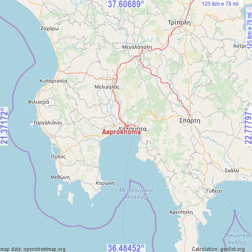
Asprókhoma GPS coordinates[2]
37° 2' 52.008" North, 22° 4' 29.424" East
| Map corner | latitude | longitude |
|---|---|---|
| Upper-left | 37.60689°, | 21.37172° |
| Center: | 37.04778°, | 22.07484° |
| Lower-right: | 36.48452°, | 22.77797° |
| Map W x H: | 124.8×124.8 km | = 77.5×77.5mi |
| max Lat: | 41.72048° ⇑89.8% North |
| Asprókhoma: | 37.04778° |
| min Lat: | ⇓10.2% South 34.8346° |
| min Long | Asprókhoma | max Long |
| 19.40494° | 22.07484° | 29.59361° |
| W 29.6%⇐ | ⇒70.4% E |
Elevation
Elevation of Asprókhoma is 25 m = 82 ft, and this is 143.9 m = 472 ft below average elevation for this country.
| Max E: |
1439 m = 4721 ft | 74.1% |
| Avg. | 168.9 m = 554 ft | |
| Asprókhoma | 25 m = 82 ft | |
Min E: |
0 m = 0 ft | 25.9% |
See also: Greece elevation on elevation.city.
Geographical zone
Asprókhoma is located in North temperate zone (between Tropic of Cancer and the Arctic Circle). Distance of this Northern Tropic circle is 1513.4 km =940.4 mi to South.| Distance of | km | miles | from Asprókhoma |
|---|---|---|---|
| North Pole | 5887.7 | 3658.4 | to North |
| Arctic Circle | 3281.8 | 2039.2 | to North |
| Tropic Cancer | 1513.4 | 940.4 | to South |
| Equator | 4119.3 | 2559.6 | to South |


Nearby cities:
15 places around Asprókhoma: (largest is in red/bold)
• Arfará
12.3 km =7.6 mi,  347°
347°
• Kalamata
3.5 km =2.2 mi,  105°
105°
• Kardamýli
22.7 km =14.1 mi,  141°
141°
• Laíika
2.4 km =1.5 mi,  50°
50°
• Longá
24.9 km =15.5 mi,  216°
216°
• Meligalás
21.1 km =13.1 mi,  332°
332°
• Messíni
6 km =3.7 mi,  273°
273°
• Mikrománi
5 km =3.1 mi,  310°
310°
• Mikrá Mantíneia
9.8 km =6.1 mi,  134°
134°
• Paralía Vérgas
8.6 km =5.3 mi,  121°
121°
• Sperchógeia
3.1 km =1.9 mi,  339°
339°
• Thouría
4.6 km =2.9 mi, 329°
• Valýra
15.5 km =9.6 mi, 327°
• Vlachópoulo
25.2 km =15.7 mi, 265°
• Áris
8.5 km =5.3 mi, 312°
Sources, notices
• [Note1] Compared only with cities in Greece existing in our database
• [Src1] Map data: © OpenStreetMap contributors (CC-BY-SA)
• [Src2] Other city data from geonames.org with taken over terms of usage.
• [Src3] Geographical zone / Annual Mean Temperature by Robert A. Rohde @ Wikipedia
