Arkítsa geodata
Arkítsa (Central Greece) is a populated place; located in Greece in Europe/Athens (GMT+3) time zone. With population of 840 people, there are 1211 cities with bigger population in this country. Compared to other cities in Greece, 58.1% of cities are located further ↑North; 55.7% of cities are located further ←West and 70.8% of cities have higher elevation than Arkítsa. Note1


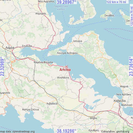
Arkítsa GPS coordinates[2]
38° 44' 36.132" North, 23° 1' 58.836" East
| Map corner | latitude | longitude |
|---|---|---|
| Upper-left | 39.28967°, | 22.32989° |
| Center: | 38.74337°, | 23.03301° |
| Lower-right: | 38.19286°, | 23.73614° |
| Map W x H: | 122×122 km | = 75.8×75.8mi |
| max Lat: | 41.72048° ⇑58.1% North |
| Arkítsa: | 38.74337° |
| min Lat: | ⇓41.9% South 34.8346° |
| min Long | Arkítsa | max Long |
| 19.40494° | 23.03301° | 29.59361° |
| W 55.7%⇐ | ⇒44.3% E |
Elevation
Elevation of Arkítsa is 30 m = 98 ft, and this is 138.9 m = 456 ft below average elevation for this country.
| Max E: |
1439 m = 4721 ft | 70.8% |
| Avg. | 168.9 m = 554 ft | |
| Arkítsa | 30 m = 98 ft | |
Min E: |
0 m = 0 ft | 29.2% |
See also: Greece elevation on elevation.city.
Geographical zone
Arkítsa is located in North temperate zone (between Tropic of Cancer and the Arctic Circle). Distance of this Northern Tropic circle is 1701.9 km =1057.5 mi to South.| Distance of | km | miles | from Arkítsa |
|---|---|---|---|
| North Pole | 5699.2 | 3541.3 | to North |
| Arctic Circle | 3093.3 | 1922.1 | to North |
| Tropic Cancer | 1701.9 | 1057.5 | to South |
| Equator | 4307.9 | 2676.8 | to South |


Nearby cities:
15 places around Arkítsa: (largest is in red/bold)
• Aidipsós
15.2 km =9.4 mi,  4°
4°
• Atalánti
10.7 km =6.6 mi,  195°
195°
• Giáltra
14.2 km =8.8 mi,  339°
339°
• Kaména Voúrla
21.8 km =13.5 mi,  280°
280°
• Livanátes
3.9 km =2.4 mi,  157°
157°
• Loutrá Aidhipsoú
12.7 km =7.9 mi,  5°
5°
• Malesína
22 km =13.7 mi,  127°
127°
• Néos Pírgos
21.7 km =13.5 mi, 9°
• Roviés
18.7 km =11.6 mi,  66°
66°
• Tragána
15.8 km =9.8 mi,  150°
150°
• Zéli
16.6 km =10.3 mi,  235°
235°
• Ágios Geórgios Lichádos
16.9 km =10.5 mi,  308°
308°
• Áyios
18 km =11.2 mi, 7°
• Áyios Konstandínos
15.3 km =9.5 mi, 275°
• Éxarkhos
18.9 km =11.7 mi, 203°
Sources, notices
• [Note1] Compared only with cities in Greece existing in our database
• [Src1] Map data: © OpenStreetMap contributors (CC-BY-SA)
• [Src2] Other city data from geonames.org with taken over terms of usage.
• [Src3] Geographical zone / Annual Mean Temperature by Robert A. Rohde @ Wikipedia
