Samarína geodata
Samarína (West Macedonia) is a populated place; located in Greece in Europe/Athens (GMT+3) time zone. With population of 839 people, there are 1213 cities with bigger population in this country. Compared to other cities in Greece, 67.7% of cities are located further ↓South; 89.8% of cities are located further →East and 100% of cities have lower elevation than Samarína. Note1


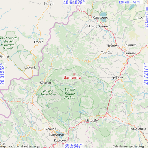
Samarína GPS coordinates[2]
40° 6' 16.632" North, 21° 1' 7.104" East
| Map corner | latitude | longitude |
|---|---|---|
| Upper-left | 40.64029°, | 20.31552° |
| Center: | 40.10462°, | 21.01864° |
| Lower-right: | 39.5647°, | 21.72177° |
| Map W x H: | 119.6×119.6 km | = 74.3×74.3mi |
| max Lat: | 41.72048° ⇑32.3% North |
| Samarína: | 40.10462° |
| min Lat: | ⇓67.7% South 34.8346° |
| min Long | Samarína | max Long |
| 19.40494° | 21.01864° | 29.59361° |
| W 10.2%⇐ | ⇒89.8% E |
Elevation
Elevation of Samarína is 1439 m = 4721 ft, and this is 1270.1 m = 4167 ft above average elevation for this country.
| Max E: |
1439 m = 4721 ft | 0% |
| Samarína | 1439 m 4721 ft | |
| Avg. | 168.9 m = 554 ft | |
Min E: |
0 m = 0 ft | 100% |
See also: Greece elevation on elevation.city.
Geographical zone
Samarína is located in North temperate zone (between Tropic of Cancer and the Arctic Circle). Distance of this Northern Tropic circle is 1853.3 km =1151.6 mi to South.| Distance of | km | miles | from Samarína |
|---|---|---|---|
| North Pole | 5547.8 | 3447.2 | to North |
| Arctic Circle | 2942 | 1828.1 | to North |
| Tropic Cancer | 1853.3 | 1151.6 | to South |
| Equator | 4459.2 | 2770.8 | to South |


Nearby cities:
15 places around Samarína: (largest is in red/bold)
• Anílio
41 km =25.5 mi,  159°
159°
• Argos Orestiko
43.8 km =27.2 mi,  27°
27°
• Asprángeloi
39.9 km =24.8 mi,  218°
218°
• Grevená
34.8 km =21.6 mi,  93°
93°
• Kalpáki
41.4 km =25.7 mi,  234°
234°
• Kefalóvryso
40.5 km =25.2 mi,  255°
255°
• Kraniá
32.1 km =19.9 mi,  135°
135°
• Kónitsa
23.1 km =14.4 mi,  254°
254°
• Malakási
42.4 km =26.3 mi,  147°
147°
• Metamórfosi
42.3 km =26.3 mi,  214°
214°
• Metsovo
39.8 km =24.7 mi, 159°
• Nestório
34.5 km =21.4 mi,  6°
6°
• Panagía
43.4 km =27 mi, 142°
• Pentávryso
40.2 km =25 mi,  15°
15°
• Tsotíli
31.4 km =19.5 mi,  56°
56°
Sources, notices
• [Note1] Compared only with cities in Greece existing in our database
• [Src1] Map data: © OpenStreetMap contributors (CC-BY-SA)
• [Src2] Other city data from geonames.org with taken over terms of usage.
• [Src3] Geographical zone / Annual Mean Temperature by Robert A. Rohde @ Wikipedia
