Waksma geodata
Waksma (Gracias a Dios) is a populated place; located in Honduras in America/Tegucigalpa (GMT-6) time zone. With population of 969 people, there are 437 cities with bigger population in this country. Compared to other cities in Honduras, 81.6% of cities are located further ↓South; 98.4% of cities are located further ←West and 92.8% of cities have higher elevation than Waksma. Note1


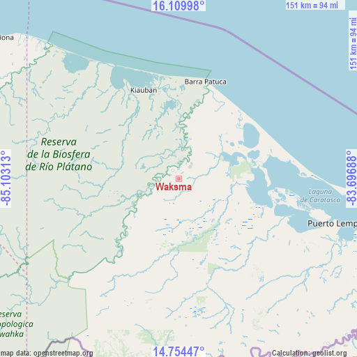
Waksma GPS coordinates[2]
15° 25' 59.988" North, 84° 24' 0" West
| Map corner | latitude | longitude |
|---|---|---|
| Upper-left | 16.10998°, | -85.10313° |
| Center: | 15.43333°, | -84.4° |
| Lower-right: | 14.75447°, | -83.69688° |
| Map W x H: | 150.7×150.7 km | = 93.6×93.6mi |
| max Lat: | 16.45° ⇑18.4% North |
| Waksma: | 15.43333° |
| min Lat: | ⇓81.6% South 13.11667° |
| min Long | Waksma | max Long |
| -89.23333° | -84.4° | -83.23333° |
| W 98.4%⇐ | ⇒1.6% E |
Elevation
Elevation of Waksma is 16 m = 52 ft, and this is 545.2 m = 1789 ft below average elevation for this country.
| Max E: |
1811 m = 5942 ft | 92.8% |
| Avg. | 561.2 m = 1841 ft | |
| Waksma | 16 m = 52 ft | |
Min E: |
1 m = 3 ft | 7.2% |
See also: Honduras elevation on elevation.city.
Geographical zone
Waksma is located in North Torrid zone (between Equator and Tropic of Cancer). Distance of this Northern Tropic circle is 889.9 km =553 mi to North.| Distance of | km | miles | from Waksma |
|---|---|---|---|
| North Pole | 8291 | 5151.8 | to North |
| Arctic Circle | 5685.1 | 3532.6 | to North |
| Tropic Cancer | 889.9 | 553 | to North |
| Equator | 1716 | 1066.3 | to South |


Nearby cities:
15 places around Waksma: (largest is in red/bold)
• Auas
9.1 km =5.7 mi,  52°
52°
• Auka
81.9 km =50.9 mi,  131°
131°
• Barra Patuca
42.6 km =26.5 mi,  17°
17°
• Bonito Oriental
147.2 km =91.5 mi,  283°
283°
• Brus Laguna
36.3 km =22.6 mi,  345°
345°
• Cusuna
100.5 km =62.4 mi,  297°
297°
• Dulce Nombre de Culmí
127.1 km =79 mi,  253°
253°
• Francia
134.9 km =83.8 mi,  290°
290°
• Iralaya
134.1 km =83.3 mi,  111°
111°
• Palkaka
58.6 km =36.4 mi,  102°
102°
• Paptalaya
11.6 km =7.2 mi, 50°
• Puerto Lempira
69.8 km =43.4 mi, 105°
• Punta Piedra
107.9 km =67 mi, 298°
• Tikiraya
94.4 km =58.7 mi,  119°
119°
• Wawina
4 km =2.5 mi,  242°
242°
Sources, notices
• [Note1] Compared only with cities in Honduras existing in our database
• [Src1] Map data: © OpenStreetMap contributors (CC-BY-SA)
• [Src2] Other city data from geonames.org with taken over terms of usage.
• [Src3] Geographical zone / Annual Mean Temperature by Robert A. Rohde @ Wikipedia
