Punta Piedra geodata
Punta Piedra (Colón) is a populated place; located in Honduras in America/Tegucigalpa (GMT-6) time zone. With population of 1,188 people, there are 324 cities with bigger population in this country. Compared to other cities in Honduras, 98.2% of cities are located further ↓South; 97.6% of cities are located further ←West and 96% of cities have higher elevation than Punta Piedra. Note1


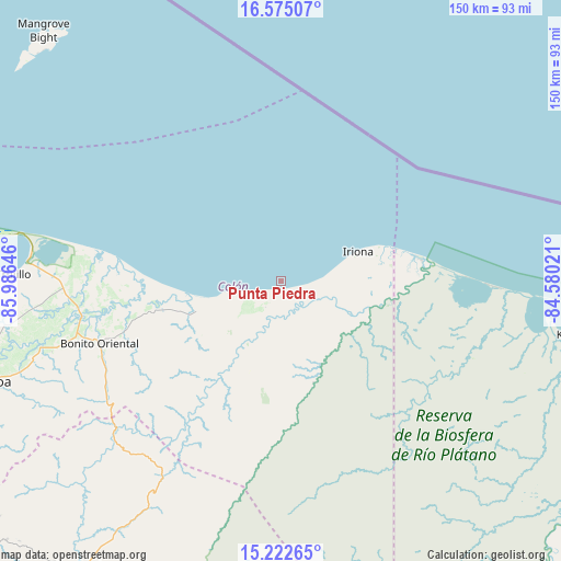
Punta Piedra GPS coordinates[2]
15° 54' 0" North, 85° 16' 59.988" West
| Map corner | latitude | longitude |
|---|---|---|
| Upper-left | 16.57507°, | -85.98646° |
| Center: | 15.9°, | -85.28333° |
| Lower-right: | 15.22265°, | -84.58021° |
| Map W x H: | 150.4×150.4 km | = 93.5×93.5mi |
| max Lat: | 16.45° ⇑1.8% North |
| Punta Piedra: | 15.9° |
| min Lat: | ⇓98.2% South 13.11667° |
| min Long | Punta Piedra | max Long |
| -89.23333° | -85.28333° | -83.23333° |
| W 97.6%⇐ | ⇒2.4% E |
Elevation
Elevation of Punta Piedra is 9 m = 30 ft, and this is 552.2 m = 1812 ft below average elevation for this country.
| Max E: |
1811 m = 5942 ft | 96% |
| Avg. | 561.2 m = 1841 ft | |
| Punta Piedra | 9 m = 30 ft | |
Min E: |
1 m = 3 ft | 4% |
See also: Honduras elevation on elevation.city.
Geographical zone
Punta Piedra is located in North Torrid zone (between Equator and Tropic of Cancer). Distance of this Northern Tropic circle is 838 km =520.7 mi to North.| Distance of | km | miles | from Punta Piedra |
|---|---|---|---|
| North Pole | 8239.1 | 5119.5 | to North |
| Arctic Circle | 5633.3 | 3500.4 | to North |
| Tropic Cancer | 838 | 520.7 | to North |
| Equator | 1767.9 | 1098.5 | to South |


Nearby cities:
15 places around Punta Piedra: (largest is in red/bold)
• Bonito Oriental
51.3 km =31.9 mi,  250°
250°
• Corocito
56 km =34.8 mi, 252°
• Cusuna
7.7 km =4.8 mi,  136°
136°
• Francia
32.6 km =20.3 mi,  260°
260°
• Jericó
73.3 km =45.5 mi,  274°
274°
• La Brea
73.9 km =45.9 mi, 261°
• La Curva
52.9 km =32.9 mi, 257°
• La Esperanza
59.6 km =37 mi,  240°
240°
• Puerto Castilla
74.2 km =46.1 mi,  280°
280°
• Quebrada de Arena
69.4 km =43.1 mi, 257°
• Salamá
75 km =46.6 mi, 257°
• Santa Rosa de Aguán
46.7 km =29 mi, 276°
• Taujica
71.3 km =44.3 mi, 251°
• Tocoa
80.4 km =50 mi, 252°
• Trujillo
71.8 km =44.6 mi, 271°
Sources, notices
• [Note1] Compared only with cities in Honduras existing in our database
• [Src1] Map data: © OpenStreetMap contributors (CC-BY-SA)
• [Src2] Other city data from geonames.org with taken over terms of usage.
• [Src3] Geographical zone / Annual Mean Temperature by Robert A. Rohde @ Wikipedia
