Budančevica geodata
Budančevica (Koprivničko-Križevačka) is a populated place; located in Croatia in Europe/Zagreb (GMT+2) time zone. With population of 527 people, there are 847 cities with bigger population in this country. Compared to other cities in Croatia, 81.1% of cities are located further ↓South; 70.2% of cities are located further ←West and 55.1% of cities have higher elevation than Budančevica. Note1


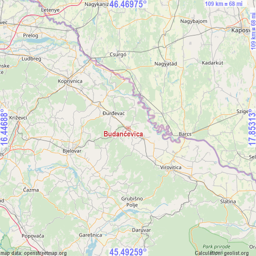
Budančevica GPS coordinates[2]
45° 58' 59.988" North, 17° 9' 0" East
| Map corner | latitude | longitude |
|---|---|---|
| Upper-left | 46.46975°, | 16.44688° |
| Center: | 45.98333°, | 17.15° |
| Lower-right: | 45.49259°, | 17.85313° |
| Map W x H: | 108.7×108.6 km | = 67.5×67.5mi |
| max Lat: | 46.52694° ⇑18.9% North |
| Budančevica: | 45.98333° |
| min Lat: | ⇓81.1% South 42.54972° |
| min Long | Budančevica | max Long |
| 13.52389° | 17.15° | 19.37694° |
| W 70.2%⇐ | ⇒29.8% E |
Elevation
Elevation of Budančevica is 117 m = 384 ft, and this is 36.3 m = 119 ft below average elevation for this country.
| Max E: |
827 m = 2713 ft | 55.1% |
| Avg. | 153.3 m = 503 ft | |
| Budančevica | 117 m = 384 ft | |
Min E: |
-1 m = -3 ft | 44.9% |
See also: Croatia elevation on elevation.city.
Geographical zone
Budančevica is located in North temperate zone (between Tropic of Cancer and the Arctic Circle). Distance of this North polar circle is 2288.3 km =1421.9 mi to North.| Distance of | km | miles | from Budančevica |
|---|---|---|---|
| North Pole | 4894.2 | 3041.1 | to North |
| Arctic Circle | 2288.3 | 1421.9 | to North |
| Tropic Cancer | 2506.9 | 1557.7 | to South |
| Equator | 5112.9 | 3177 | to South |


Nearby cities:
15 places around Budančevica: (largest is in red/bold)
• Ferdinandovac
8.4 km =5.2 mi,  27°
27°
• Kalinovac
5.8 km =3.6 mi,  332°
332°
• Kloštar Podravski
0.5 km =0.3 mi,  118°
118°
• Kozarevac
6.6 km =4.1 mi,  202°
202°
• Novo Virje
12 km =7.5 mi,  0°
0°
• Otrovanec
8 km =5 mi,  147°
147°
• Pitomača
7.1 km =4.4 mi, 120°
• Podravske Sesvete
5.3 km =3.3 mi,  63°
63°
• Prugovac
2.7 km =1.7 mi,  238°
238°
• Stari Gradac
12.7 km =7.9 mi, 120°
• Velika Črešnjevica
8.9 km =5.5 mi,  164°
164°
• Virje
15.5 km =9.6 mi,  307°
307°
• Vukosavljevica
13.3 km =8.3 mi, 151°
• Đurđevac
8.9 km =5.5 mi,  316°
316°
• Šandrovac
13.2 km =8.2 mi,  229°
229°
Sources, notices
• [Note1] Compared only with cities in Croatia existing in our database
• [Src1] Map data: © OpenStreetMap contributors (CC-BY-SA)
• [Src2] Other city data from geonames.org with taken over terms of usage.
• [Src3] Geographical zone / Annual Mean Temperature by Robert A. Rohde @ Wikipedia
