Vép geodata
Vép (Vas) is a populated place; located in Hungary in Europe/Budapest (GMT+2) time zone. With population of 3,460 people, there are 421 cities with bigger population in this country. Compared to other cities in Hungary, 60.4% of cities are located further ↑North; 98.4% of cities are located further →East and 90.3% of cities have lower elevation than Vép. Note1


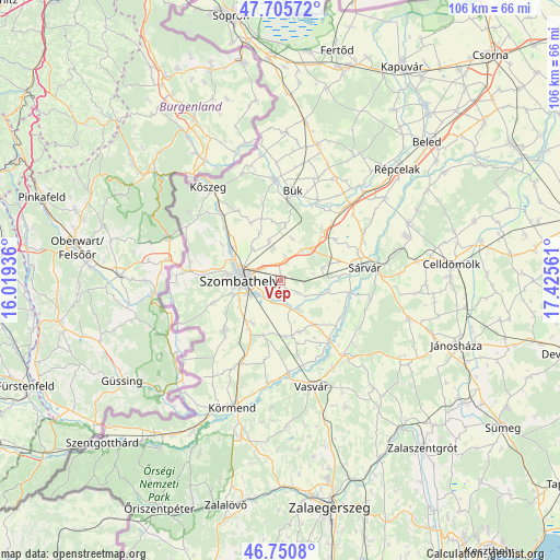
Vép GPS coordinates[2]
47° 13' 49.476" North, 16° 43' 20.928" East
| Map corner | latitude | longitude |
|---|---|---|
| Upper-left | 47.70572°, | 16.01936° |
| Center: | 47.23041°, | 16.72248° |
| Lower-right: | 46.7508°, | 17.42561° |
| Map W x H: | 106.2×106.2 km | = 66×66mi |
| max Lat: | 48.46667° ⇑60.4% North |
| Vép: | 47.23041° |
| min Lat: | ⇓39.6% South 45.79108° |
| min Long | Vép | max Long |
| 16.27358° | 16.72248° | 22.68096° |
| W 1.6%⇐ | ⇒98.4% E |
Elevation
Elevation of Vép is 191 m = 627 ft, and this is 61.3 m = 201 ft above average elevation for this country.
| Max E: |
444 m = 1457 ft | 9.7% |
| Vép | 191 m 627 ft | |
| Avg. | 129.7 m = 426 ft | |
Min E: |
71 m = 233 ft | 90.3% |
See also: Hungary elevation on elevation.city.
Geographical zone
Vép is located in North temperate zone (between Tropic of Cancer and the Arctic Circle). Distance of this North polar circle is 2149.6 km =1335.7 mi to North.| Distance of | km | miles | from Vép |
|---|---|---|---|
| North Pole | 4755.5 | 2954.9 | to North |
| Arctic Circle | 2149.6 | 1335.7 | to North |
| Tropic Cancer | 2645.6 | 1643.9 | to South |
| Equator | 5251.5 | 3263.1 | to South |


Nearby cities:
15 places around Vép: (largest is in red/bold)
• Alsóújlak
19.4 km =12.1 mi,  149°
149°
• Beled
38.3 km =23.8 mi,  46°
46°
• Bük
17.3 km =10.7 mi,  7°
7°
• Celldömölk
32.4 km =20.1 mi,  84°
84°
• Csepreg
19 km =11.8 mi,  356°
356°
• Gencsapáti
11.3 km =7 mi,  302°
302°
• Ják
14.5 km =9 mi,  227°
227°
• Jánosháza
35.7 km =22.2 mi,  110°
110°
• Körmend
25.9 km =16.1 mi,  199°
199°
• Kőszeg
22.3 km =13.9 mi,  322°
322°
• Répcelak
30.7 km =19.1 mi, 46°
• Szombathely
7.6 km =4.7 mi,  270°
270°
• Sárvár
16.3 km =10.1 mi, 80°
• Táplánszentkereszt
4.4 km =2.7 mi,  206°
206°
• Vasvár
21 km =13 mi,  163°
163°
Sources, notices
• [Note1] Compared only with cities in Hungary existing in our database
• [Src1] Map data: © OpenStreetMap contributors (CC-BY-SA)
• [Src2] Other city data from geonames.org with taken over terms of usage.
• [Src3] Geographical zone / Annual Mean Temperature by Robert A. Rohde @ Wikipedia
