Pákozd geodata
Pákozd (Fejér) is a populated place; located in Hungary in Europe/Budapest (GMT+2) time zone. With population of 2,721 people, there are 564 cities with bigger population in this country. Compared to other cities in Hungary, 61.4% of cities are located further ↑North; 76.2% of cities are located further →East and 50.8% of cities have higher elevation than Pákozd. Note1


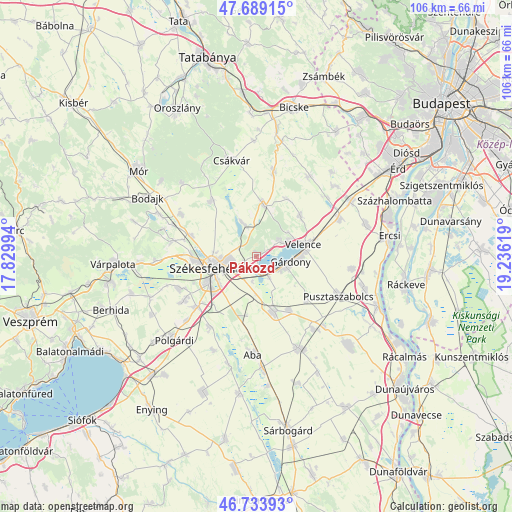
Pákozd GPS coordinates[2]
47° 12' 49.284" North, 18° 31' 59.016" East
| Map corner | latitude | longitude |
|---|---|---|
| Upper-left | 47.68915°, | 17.82994° |
| Center: | 47.21369°, | 18.53306° |
| Lower-right: | 46.73393°, | 19.23619° |
| Map W x H: | 106.2×106.2 km | = 66×66mi |
| max Lat: | 48.46667° ⇑61.4% North |
| Pákozd: | 47.21369° |
| min Lat: | ⇓38.6% South 45.79108° |
| min Long | Pákozd | max Long |
| 16.27358° | 18.53306° | 22.68096° |
| W 23.8%⇐ | ⇒76.2% E |
Elevation
Elevation of Pákozd is 115 m = 377 ft, and this is 14.7 m = 48 ft below average elevation for this country.
| Max E: |
444 m = 1457 ft | 50.8% |
| Avg. | 129.7 m = 426 ft | |
| Pákozd | 115 m = 377 ft | |
Min E: |
71 m = 233 ft | 49.2% |
See also: Hungary elevation on elevation.city.
Geographical zone
Pákozd is located in North temperate zone (between Tropic of Cancer and the Arctic Circle). Distance of this North polar circle is 2151.5 km =1336.9 mi to North.| Distance of | km | miles | from Pákozd |
|---|---|---|---|
| North Pole | 4757.4 | 2956.1 | to North |
| Arctic Circle | 2151.5 | 1336.9 | to North |
| Tropic Cancer | 2643.8 | 1642.8 | to South |
| Equator | 5249.7 | 3262 | to South |


Nearby cities:
15 places around Pákozd: (largest is in red/bold)
• Aba
20.5 km =12.7 mi,  182°
182°
• Baracska
18.6 km =11.6 mi,  65°
65°
• Gárdony
7.8 km =4.8 mi,  93°
93°
• Kincsesbánya
20.1 km =12.5 mi,  286°
286°
• Kápolnásnyék
11.2 km =7 mi, 74°
• Lovasberény
10.8 km =6.7 mi,  7°
7°
• Pusztaszabolcs
19.6 km =12.2 mi,  115°
115°
• Pázmánd
12.3 km =7.6 mi,  47°
47°
• Seregélyes
11.7 km =7.3 mi,  168°
168°
• Szabadbattyán
16.3 km =10.1 mi,  229°
229°
• Székesfehérvár
9.6 km =6 mi,  254°
254°
• Sárszentmihály
16.1 km =10 mi, 245°
• Velence
9.6 km =6 mi, 73°
• Vál
19.9 km =12.4 mi,  33°
33°
• Zámoly
14.8 km =9.2 mi,  320°
320°
Sources, notices
• [Note1] Compared only with cities in Hungary existing in our database
• [Src1] Map data: © OpenStreetMap contributors (CC-BY-SA)
• [Src2] Other city data from geonames.org with taken over terms of usage.
• [Src3] Geographical zone / Annual Mean Temperature by Robert A. Rohde @ Wikipedia
