Őcsény geodata
Őcsény (Tolna) is a populated place; located in Hungary in Europe/Budapest (GMT+2) time zone. With population of 2,536 people, there are 607 cities with bigger population in this country. Compared to other cities in Hungary, 91.9% of cities are located further ↑North; 72.3% of cities are located further →East and 85.5% of cities have higher elevation than Őcsény. Note1


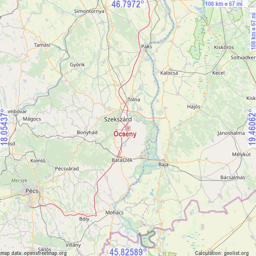
Őcsény GPS coordinates[2]
46° 18' 49.32" North, 18° 45' 26.964" East
| Map corner | latitude | longitude |
|---|---|---|
| Upper-left | 46.7972°, | 18.05437° |
| Center: | 46.3137°, | 18.75749° |
| Lower-right: | 45.82589°, | 19.46062° |
| Map W x H: | 108×108 km | = 67.1×67.1mi |
| max Lat: | 48.46667° ⇑91.9% North |
| Őcsény: | 46.3137° |
| min Lat: | ⇓8.1% South 45.79108° |
| min Long | Őcsény | max Long |
| 16.27358° | 18.75749° | 22.68096° |
| W 27.7%⇐ | ⇒72.3% E |
Elevation
Elevation of Őcsény is 90 m = 295 ft, and this is 39.7 m = 130 ft below average elevation for this country.
| Max E: |
444 m = 1457 ft | 85.5% |
| Avg. | 129.7 m = 426 ft | |
| Őcsény | 90 m = 295 ft | |
Min E: |
71 m = 233 ft | 14.5% |
See also: Hungary elevation on elevation.city.
Geographical zone
Őcsény is located in North temperate zone (between Tropic of Cancer and the Arctic Circle). Distance of this North polar circle is 2251.6 km =1399.1 mi to North.| Distance of | km | miles | from Őcsény |
|---|---|---|---|
| North Pole | 4857.5 | 3018.3 | to North |
| Arctic Circle | 2251.6 | 1399.1 | to North |
| Tropic Cancer | 2543.7 | 1580.6 | to South |
| Equator | 5149.6 | 3199.8 | to South |


Nearby cities:
15 places around Őcsény: (largest is in red/bold)
• Baja
20.9 km =13 mi,  134°
134°
• Bogyiszló
9.8 km =6.1 mi,  34°
34°
• Bonyhád
17.5 km =10.9 mi,  264°
264°
• Báta
20.6 km =12.8 mi,  177°
177°
• Bátaszék
13.6 km =8.5 mi,  191°
191°
• Decs
3.3 km =2.1 mi, 176°
• Dusnok
18 km =11.2 mi,  61°
61°
• Fadd
17.5 km =10.9 mi,  15°
15°
• Szedres
18.9 km =11.7 mi,  342°
342°
• Szekszárd
5.5 km =3.4 mi,  317°
317°
• Szentgálpuszta
12.2 km =7.6 mi,  303°
303°
• Sükösd
18.6 km =11.6 mi,  100°
100°
• Tolna
12.7 km =7.9 mi,  8°
8°
• Zomba
18.3 km =11.4 mi,  306°
306°
• Érsekcsanád
18.7 km =11.6 mi,  110°
110°
Sources, notices
• [Note1] Compared only with cities in Hungary existing in our database
• [Src1] Map data: © OpenStreetMap contributors (CC-BY-SA)
• [Src2] Other city data from geonames.org with taken over terms of usage.
• [Src3] Geographical zone / Annual Mean Temperature by Robert A. Rohde @ Wikipedia
