Heréd geodata
Heréd (Heves) is a populated place; located in Hungary in Europe/Budapest (GMT+2) time zone. With population of 2,039 people, there are 765 cities with bigger population in this country. Compared to other cities in Hungary, 71.3% of cities are located further ↓South; 53.1% of cities are located further ←West and 56.3% of cities have lower elevation than Heréd. Note1


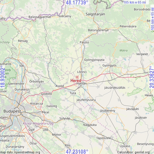
Heréd GPS coordinates[2]
47° 42' 22.968" North, 19° 37' 59.304" East
| Map corner | latitude | longitude |
|---|---|---|
| Upper-left | 48.17739°, | 18.93002° |
| Center: | 47.70638°, | 19.63314° |
| Lower-right: | 47.23108°, | 20.33627° |
| Map W x H: | 105.2×105.2 km | = 65.4×65.4mi |
| max Lat: | 48.46667° ⇑28.7% North |
| Heréd: | 47.70638° |
| min Lat: | ⇓71.3% South 45.79108° |
| min Long | Heréd | max Long |
| 16.27358° | 19.63314° | 22.68096° |
| W 53.1%⇐ | ⇒46.9% E |
Elevation
Elevation of Heréd is 122 m = 400 ft, and this is 7.7 m = 25 ft below average elevation for this country.
| Max E: |
444 m = 1457 ft | 43.7% |
| Avg. | 129.7 m = 426 ft | |
| Heréd | 122 m = 400 ft | |
Min E: |
71 m = 233 ft | 56.3% |
See also: Hungary elevation on elevation.city.
Geographical zone
Heréd is located in North temperate zone (between Tropic of Cancer and the Arctic Circle). Distance of this North polar circle is 2096.7 km =1302.8 mi to North.| Distance of | km | miles | from Heréd |
|---|---|---|---|
| North Pole | 4702.6 | 2922.1 | to North |
| Arctic Circle | 2096.7 | 1302.8 | to North |
| Tropic Cancer | 2698.5 | 1676.8 | to South |
| Equator | 5304.5 | 3296.1 | to South |


Nearby cities:
15 places around Heréd: (largest is in red/bold)
• Apc
10.8 km =6.7 mi,  25°
25°
• Boldog
12.2 km =7.6 mi,  160°
160°
• Ecséd
10.4 km =6.5 mi,  73°
73°
• Galgahévíz
11.1 km =6.9 mi,  206°
206°
• Hatvan
5.8 km =3.6 mi,  139°
139°
• Hort
11.8 km =7.3 mi,  98°
98°
• Héhalom
9 km =5.6 mi,  336°
336°
• Hévízgyörk
11.9 km =7.4 mi,  227°
227°
• Kartal
7.9 km =4.9 mi,  240°
240°
• Lőrinci
4.5 km =2.8 mi,  49°
49°
• Palotás
10.3 km =6.4 mi, 344°
• Petőfibánya
8.6 km =5.3 mi,  35°
35°
• Rózsaszentmárton
11.7 km =7.3 mi, 44°
• Tura
11 km =6.8 mi,  191°
191°
• Zagyvaszántó
8.3 km =5.2 mi,  19°
19°
Sources, notices
• [Note1] Compared only with cities in Hungary existing in our database
• [Src1] Map data: © OpenStreetMap contributors (CC-BY-SA)
• [Src2] Other city data from geonames.org with taken over terms of usage.
• [Src3] Geographical zone / Annual Mean Temperature by Robert A. Rohde @ Wikipedia
